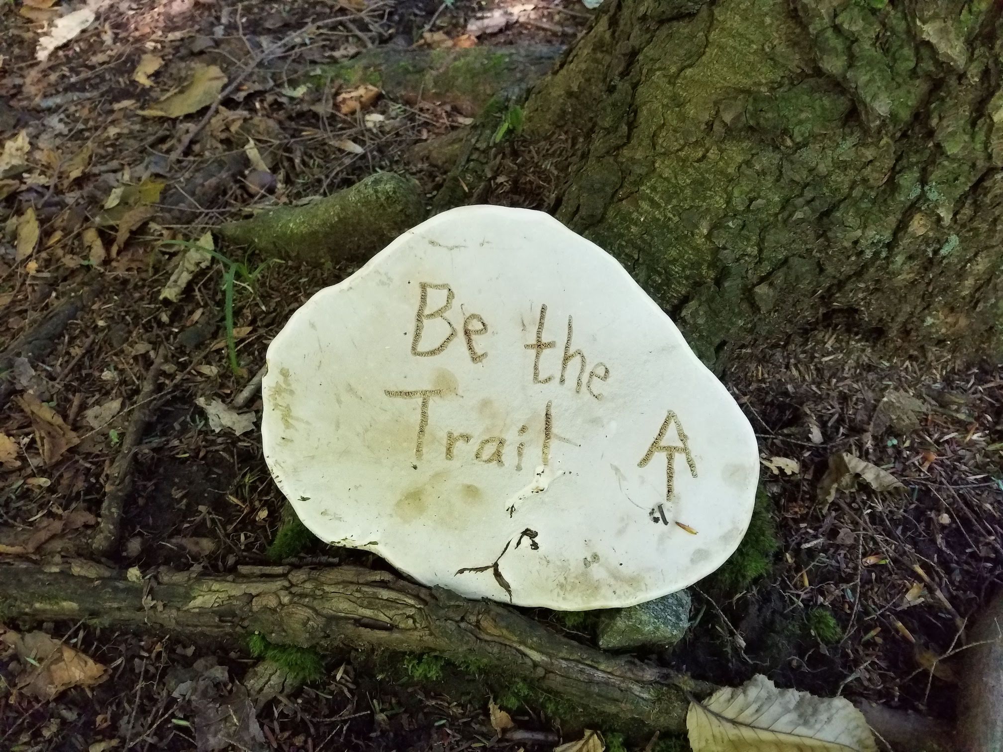
Four months ago I finished my first ‘section hike’ of the Appalachian trail…and for four months I’ve tried to figure out how best to tell the story of what was one one of the toughest, most memorable, and most enjoyable adventures I’ve experienced in my time on this big ball of dirt. But, every time I’ve tried to put pen to paper, or fingers to the keyboard, I’ve struggled with what kind of story I wanted to tell. Sure, I could share all the nitty gritty details of gear, meals, and miles. I could share the day by day diary of the to’s and from’s and everything in between. I could share the take aways, the moments that stood out as remarkable or memorable. But none of these on their own would really capture the experience the way it deserves to be captured, leaving only the option to do all of the above.
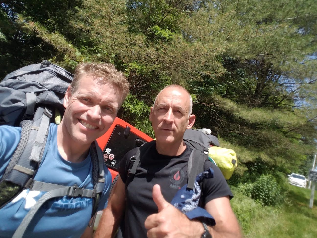
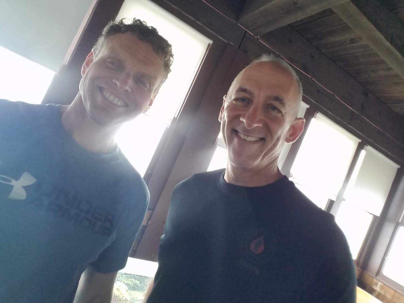
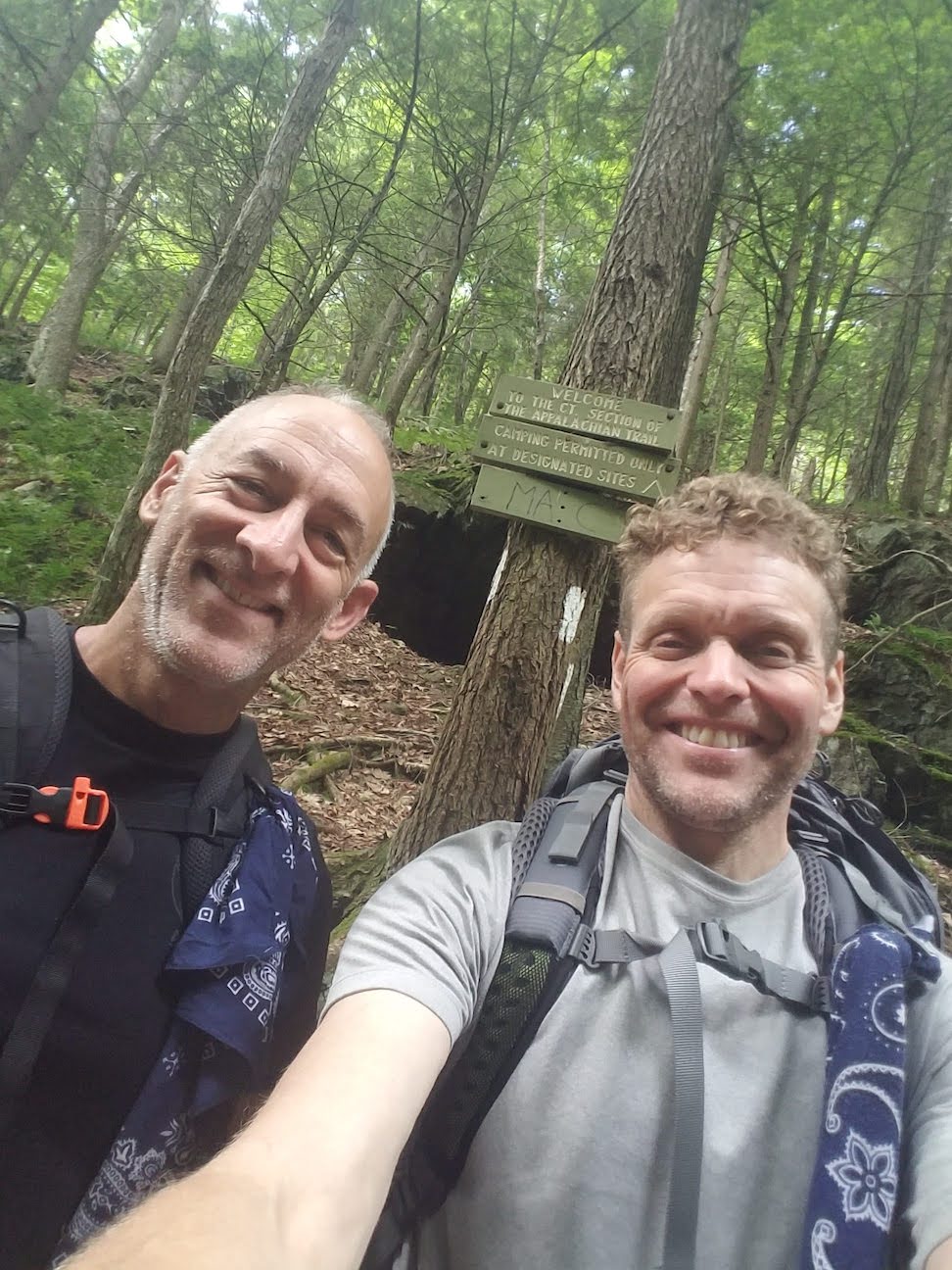
I’m no stranger to hiking, but I am not, or should I say, was not a backpacker…nor did the idea of becoming one really appeal to me. A year ago that changed. At a high school reunion last October, my buddy Jim was telling us about hiking the Georgia section of the Appalachian trail with his wife. They had covered the 76 miles of trail over a few multi day hikes. As he was talking about it, I was immediately reminded of the stories my buddy Tom had told me about his time covering 800 miles of the A.T. …the people he met, places he stopped, and the memories that he would share all with a fondness that I never really understood. Back to my reunion… at some point during the weekend Jim said he wanted to do a larger section of the trail and asked if I’d be interested in doing part of it with him. Despite my lack of backpacking experience, my thirst for adventure took over reason, and I was all in.
For the next nine months, I started collecting the gear necessary to make such a trek, and Jim and I emailed back and forth trying to figure out the best section of the trail to tackle. Given my vacation availability, we knew we had seven days to complete our mission. Our first thought was to cover the 100 Mile Wilderness in Maine, but logistics and work schedules quickly let us know that even if we could cover the distance in our allotted time, getting there and back was going to push us over our limit. After more research, we finally decided on Massachusetts. The distance from the Vermont border to the Connecticut border was just over 90 miles, with a few more miles tacked on to get to trail heads put us right around 96 miles. The way the calendar worked out, it looked like the best week to do this was the last week of June. The plan was to meet in upstate NY on Sunday the 23rd. We’d get up early on Monday and drop a car at the Connecticut end, drive to northern Massachusetts to drop the other car, and plan to be off the trail by Sunday the 30th.
Oh yeah, forgot to mention, we decided we wanted to hike Southbound, because it only makes sense that heading south should be the downhill direction. Turns out, that logic was flawed, seriously flawed.
So there’s the backstory to how this event unfolded, let’s start hiking.
False expectations…
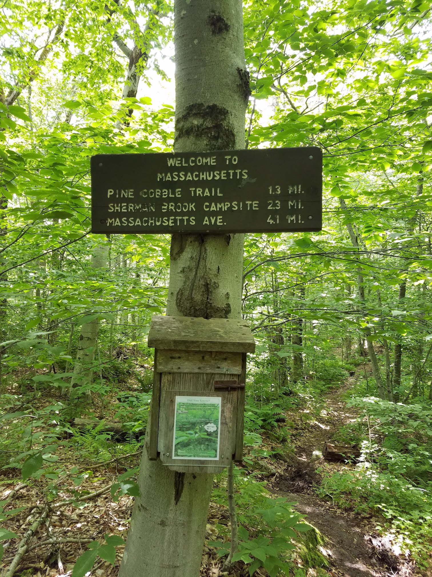
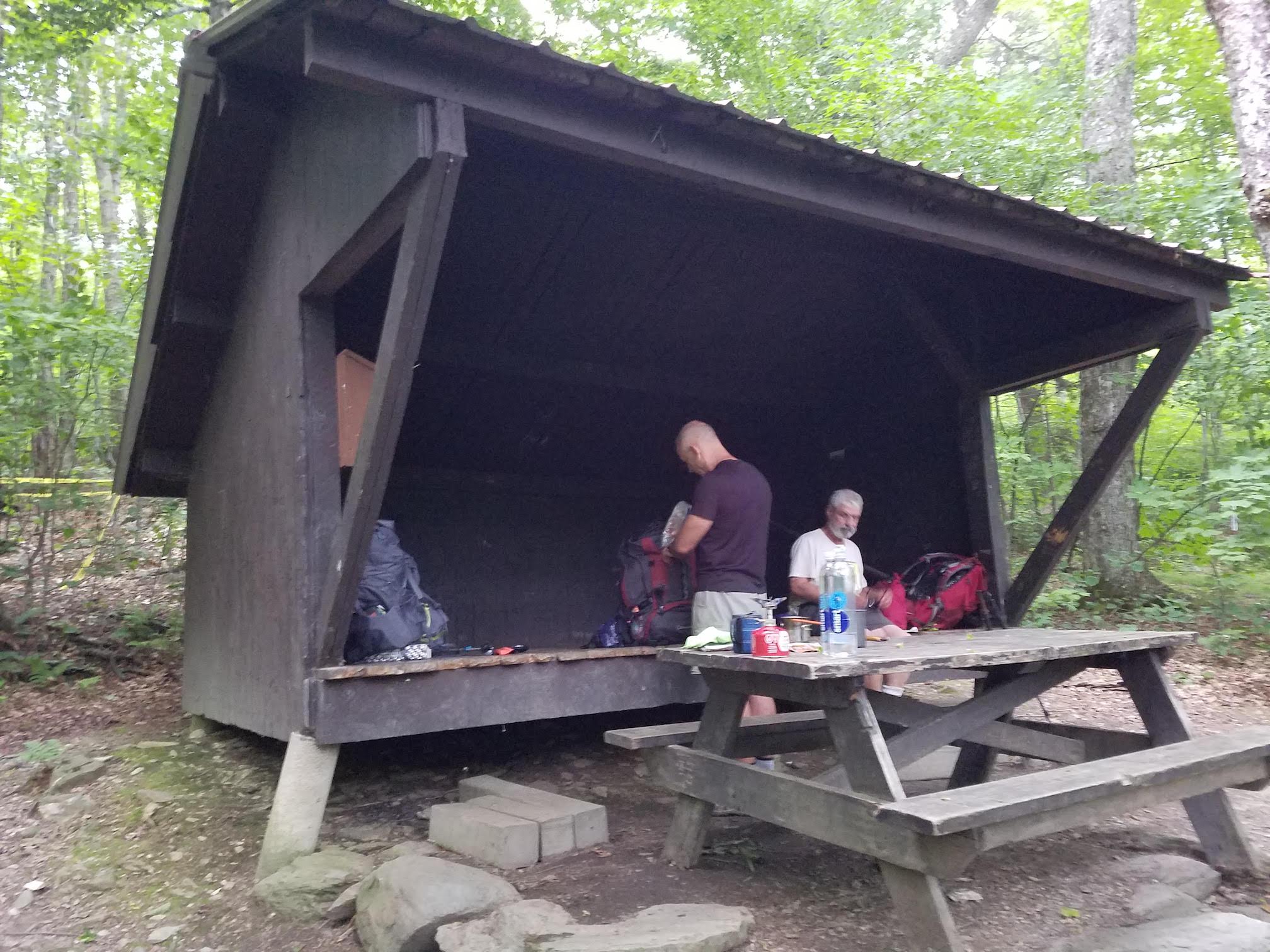
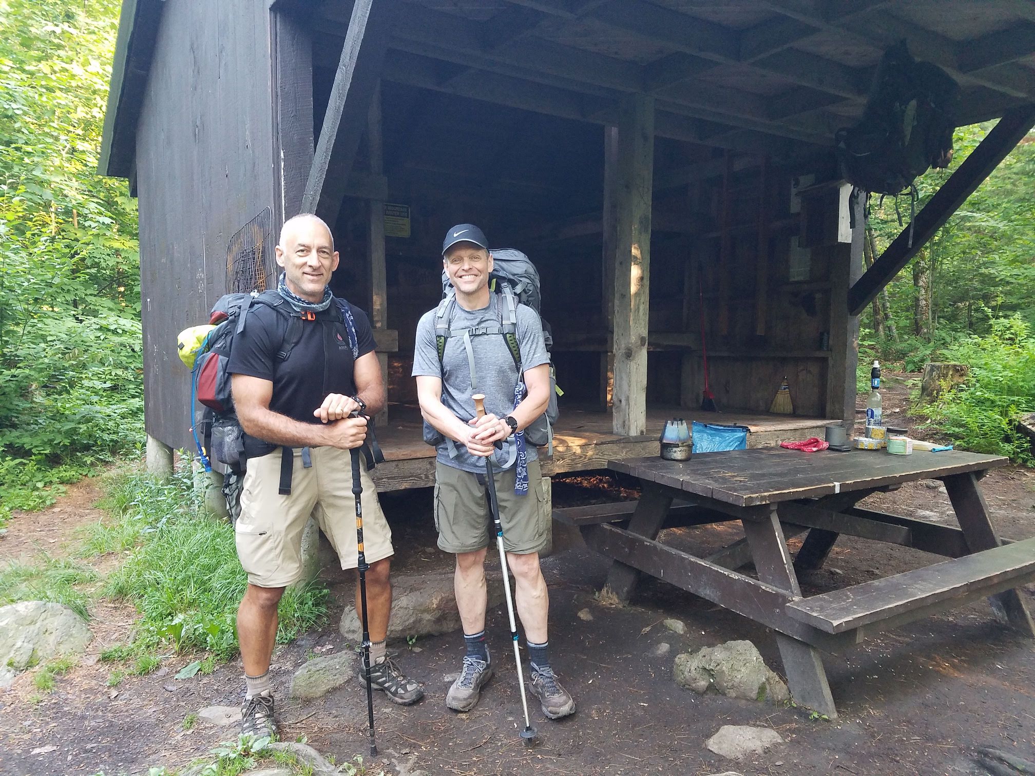
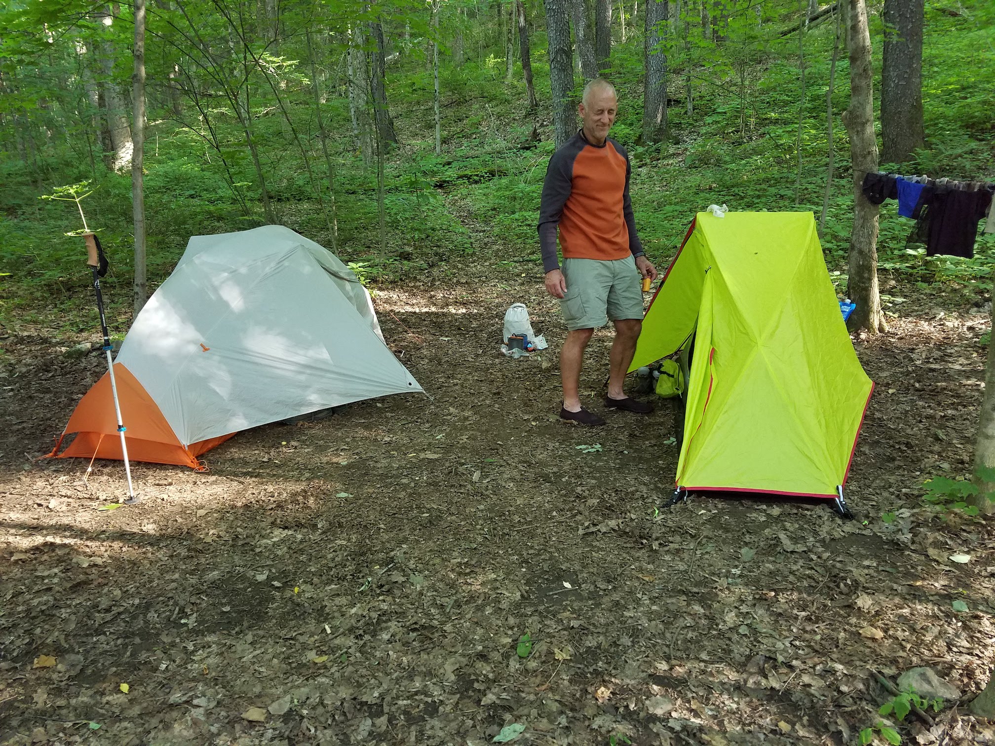
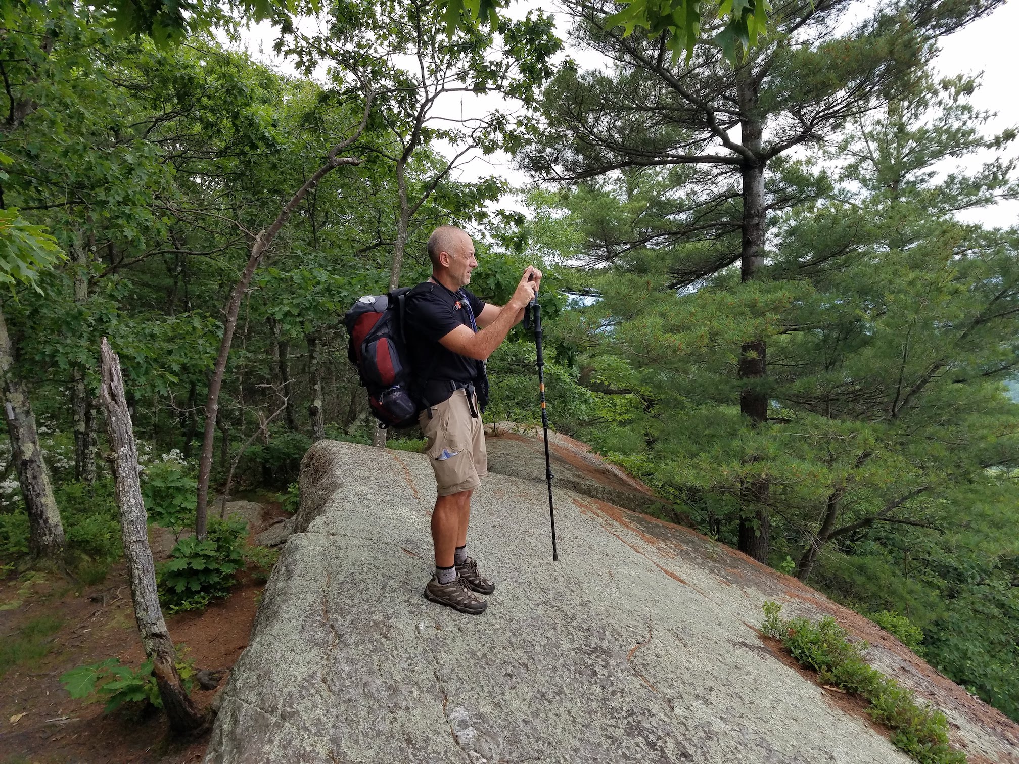
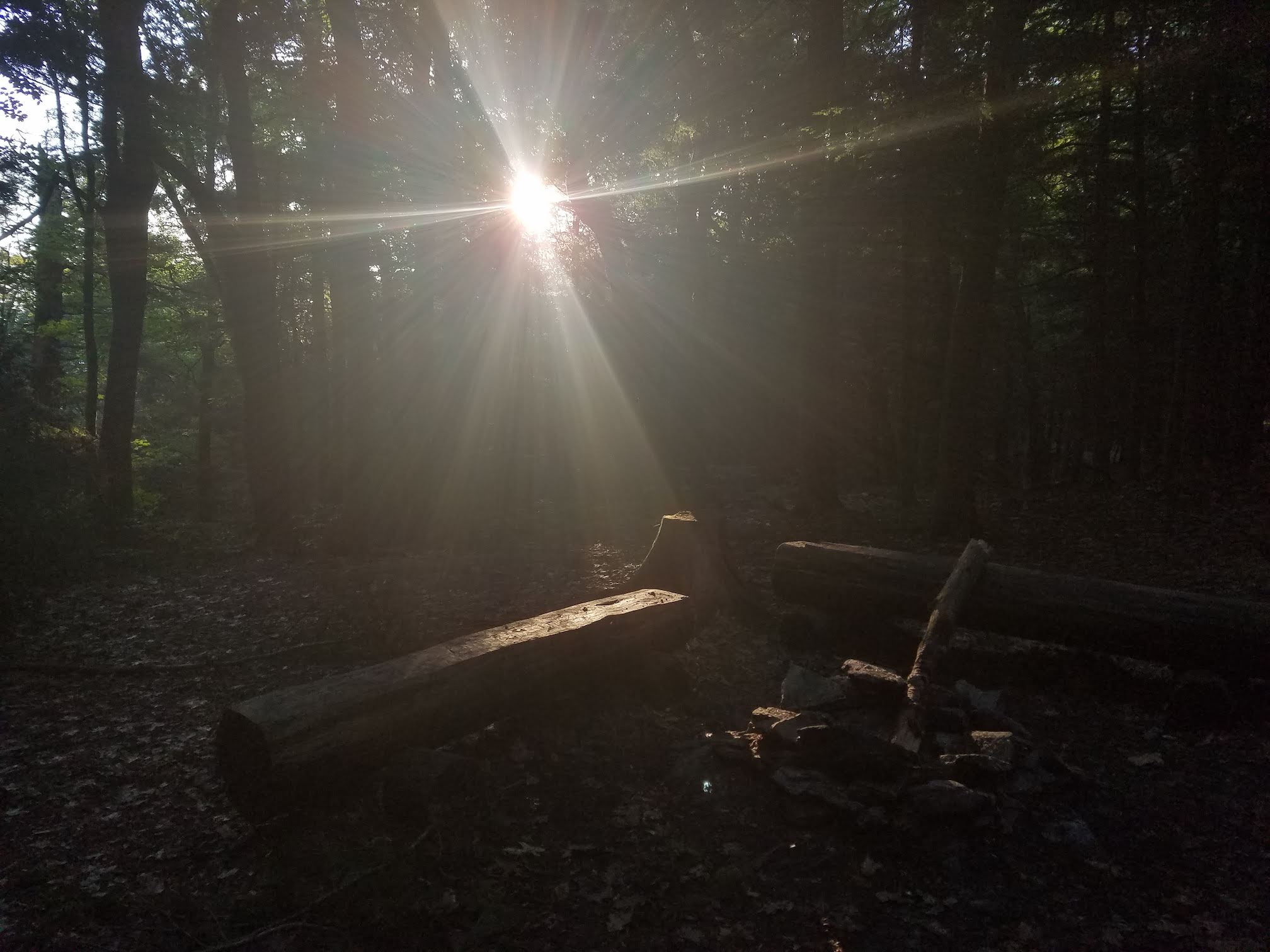
Just around lunchtime on Monday, we started our hike at the Pine Cobble Trail head in Williamstown Mass. With both of our packs weighing in around 38 lbs with everything we’d need for a week, we started the short, but steep climb up Pine Cobble Trail to reach the A.T. …and backtracked a little over a mile to get to the Vermont border to make the hike an official border to border hike. The first couple miles were all pretty much uphill, with little or no relief. Jim and I are both pretty active. Jim being a career long military man, physical fitness was part of his regular regime, and being a self proclaimed endurance racer, I wasn’t particularly worried about my physical conditioning. But, this first stretch had us working. We’re also both somewhat obsessed with getting to our destination in short time. The night before we had planned a couple potential spots to make camp for the first night, one was at mile marker 11, the other was at mile marker 17. At this point in our journey, expectations were running high, and despite the noon time departure, we thought we could make it the longer distance to the Mark Noepel Shelter. We started out at a pretty aggressive clip, but we soon learned that the A.T. through Mass was no walk in the park. The trails were steep and rugged, and when we reached the Wilbur Clearing Shelter at dinner time, we decided that 11 miles was enough for day one and we were surprised to find the Lean-To empty and quickly claimed our spots on the floor.
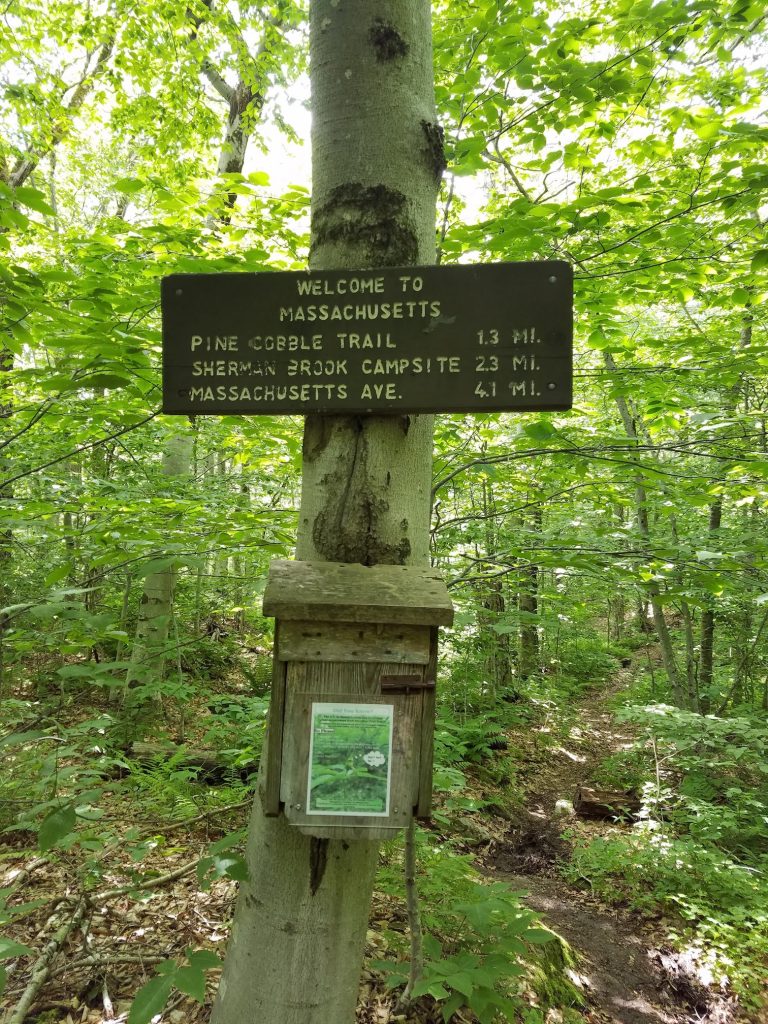
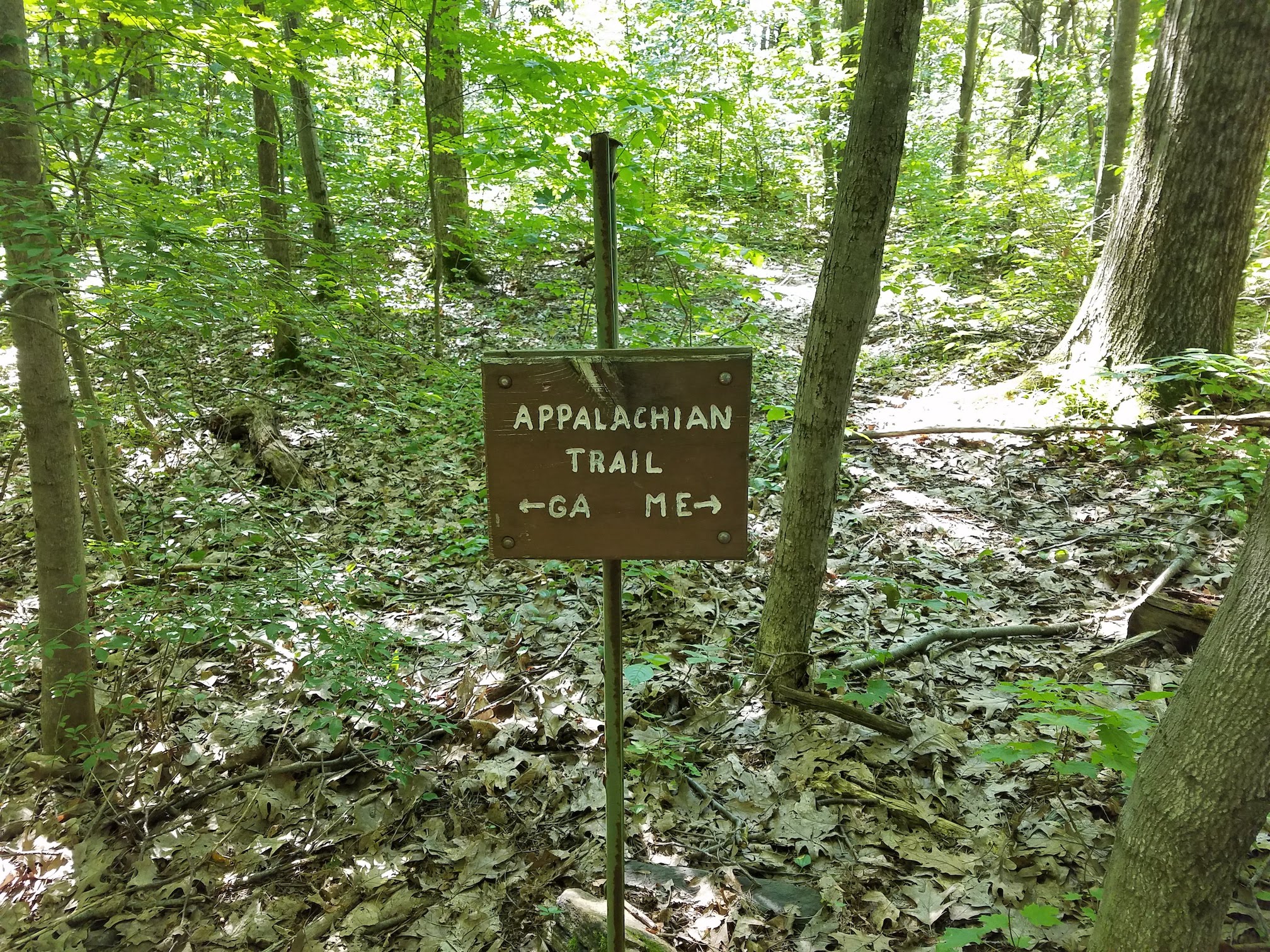
The Vermont / Mass Border 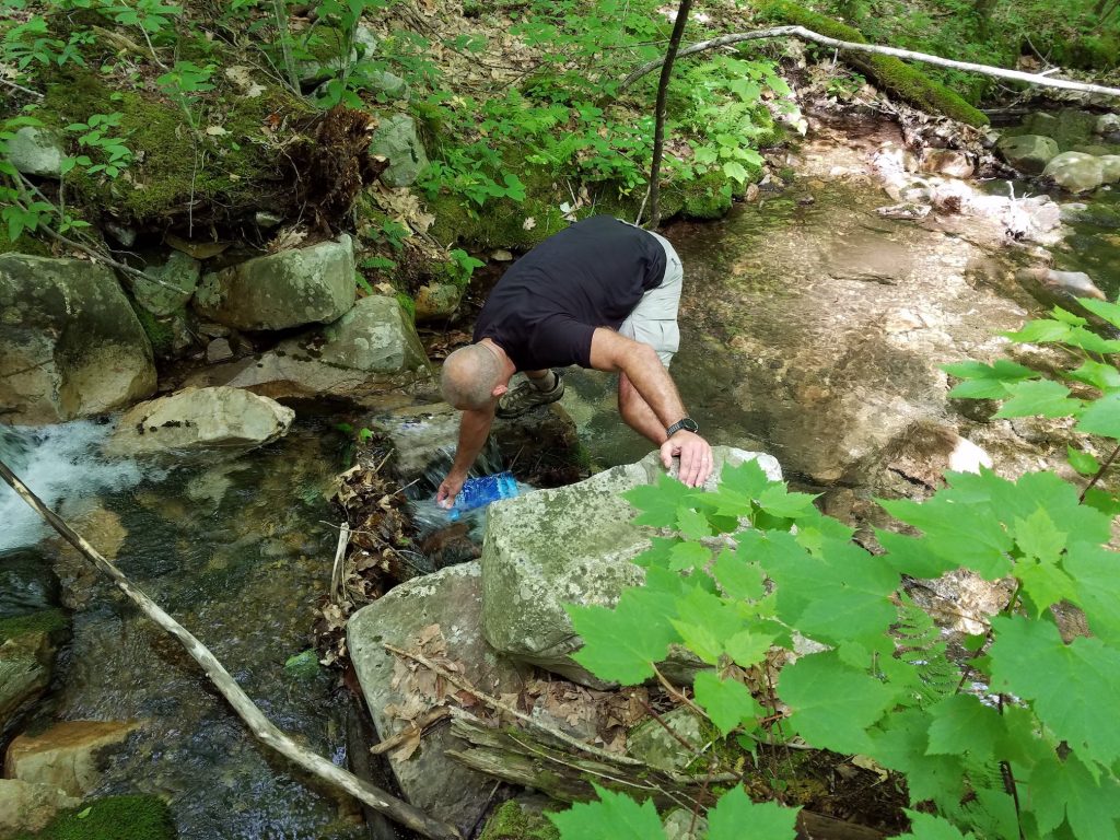
Refilling the water supply 
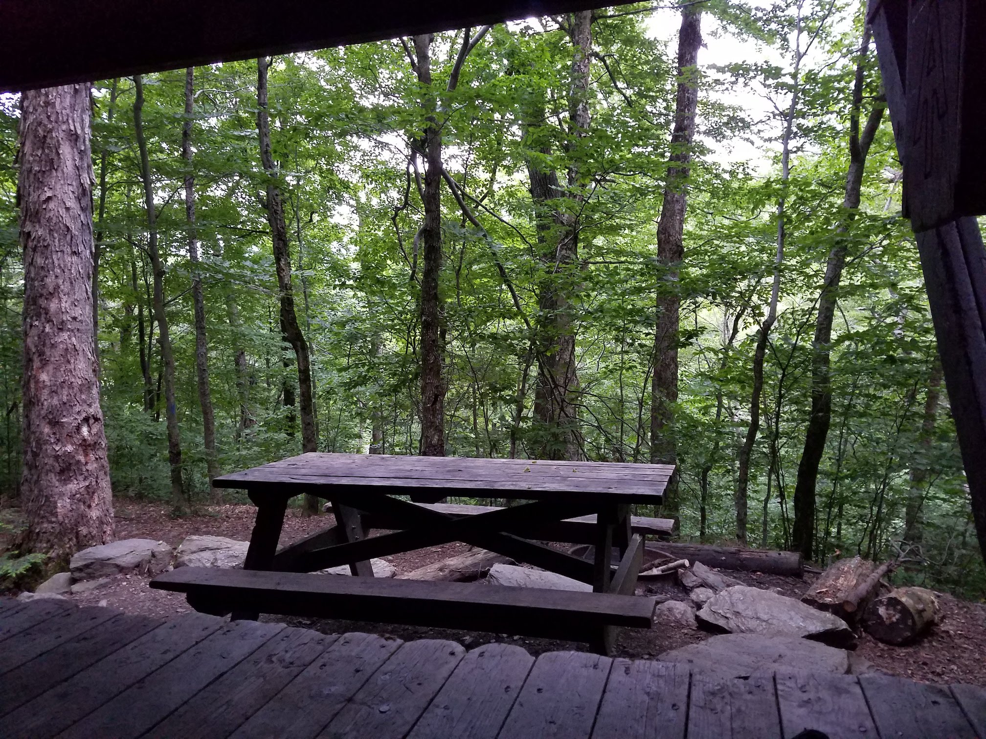
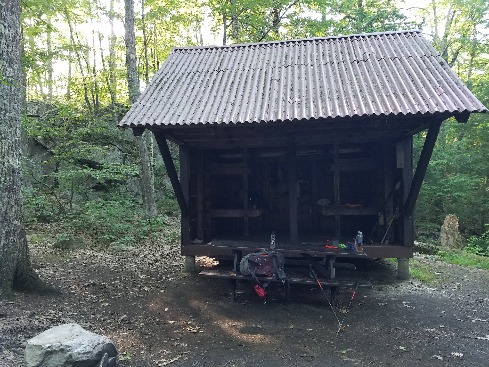
Wilbur Clearing Shelter 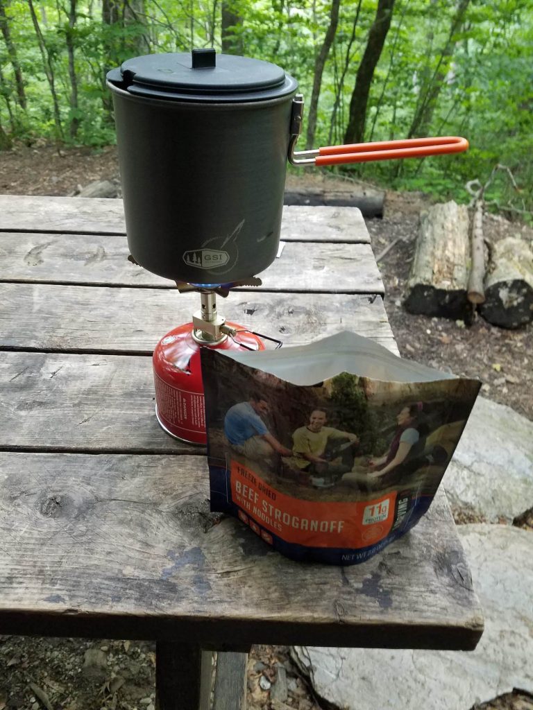
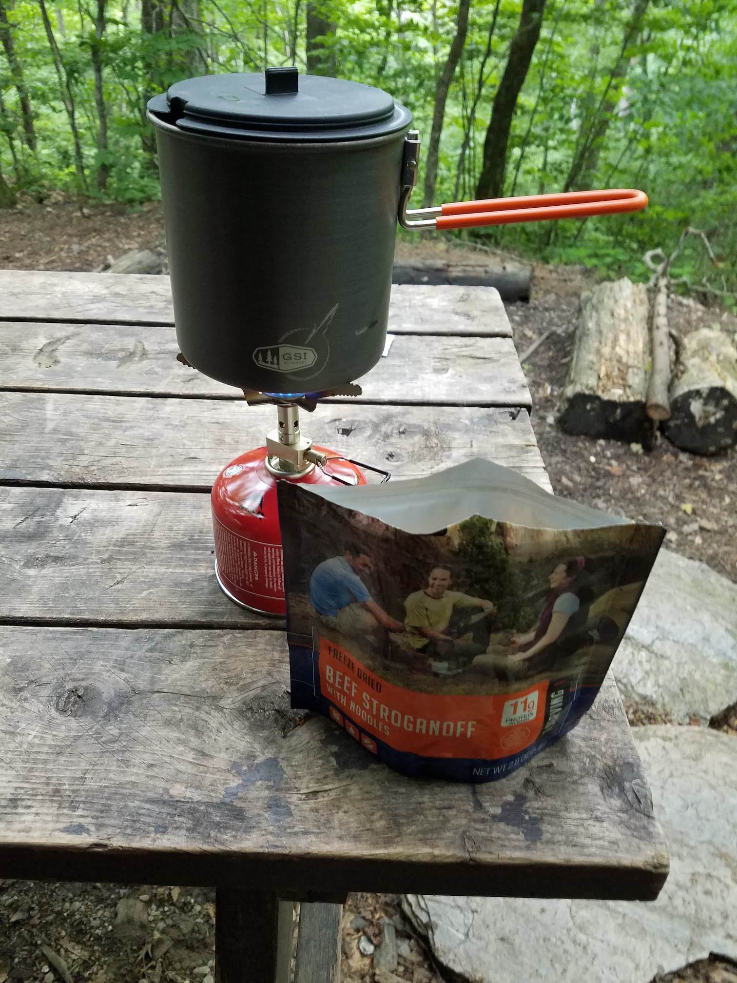
Cooking Dinner 
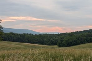
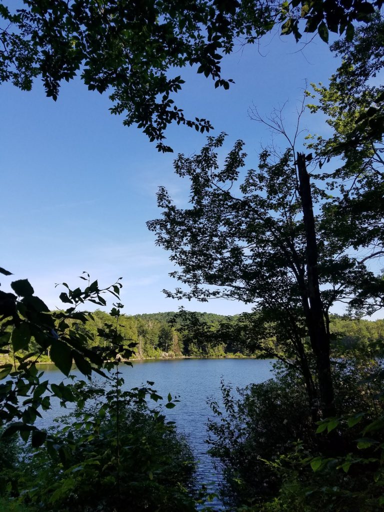
The morning view

Interesting People…
Being our first night on the trail, this was our first chance to interact with other hikers. The campsite was buzzing with activity. There was what seemed to be, a guided hike group that was taking up several of the tent sites. Closer to the Lean-To, there was a young couple with a pre-school aged kid and what I assumed to be one of their moms. The Dad was kind enough to let us know that it was a bad idea to pee near the water source. I took that advice and filed it along with the “don’t eat yellow snow” tip I got in grade school and figured I was better for knowing this. Before too long, an older guy arrived and claimed the far side of the Lean-To floor, and proceeded to tell us his story. Seems he was in poor health, and his doctor told him he had to change his ways. He decided that hiking the Appalachian Trail was the change he needed, and despite the doctor’s warning that he would not survive such a journey, here he was in our lean-to heading northbound with only a few states to go. Jim and I were pretty relieved when he was still breathing the next morning. It was that night that we learned that bears actually understand the English language. While I was enjoying a bag of rehydrated beef stroganoff, we heard a clapping routine reminiscent of a birthday celebration at an Applebees followed by chants of “bear, go away bear, bear, go away bear”. Out of curiosity, I left the safety of my three sided structure and made my way up to where all the commotion was taking place, only to realize that the bear actually did know English, and had run off into the forest.
Then came the rain…
We were looking forward to the next day’s hike. We were going to summit Mt. Greylock, the highest point in Massachusetts and famous for spectacular views. Our lean-to companion, said there was a restaurant on the mountain, as there is also a road that reaches the summit. A real breakfast in a mountain top restaurant sounded like a great idea, so we ate a lite snack at camp, and quickly got on the trail. There had been some rain in the forecast, but we had no idea how much. We had some light rain as we approached the peak, and as we got there, we realized that we were completely immersed in the clouds and there were no views. In fact, it was hard to see the huge lodge on the mountain top. At that point the rain was pretty heavy. We got to the restaurant and decided to wait out the rain before heading back out. According to the radar, it looked like we would be getting a good break. After some pancakes and real maple syrup and an hour of killing time, we took advantage of the break in the weather and headed back out on the trail. No sooner did we hit the trail, and the skies opened up…and it rained, and rained, and rained some more. It rained for the next seven miles of hiking, and everything that could be soaked was soaked. The sun came out as we reached Chesire, MA. All the way down the mountain in the cold rain, I was jonesin’ a grilled cheese sandwich. As luck would have it, we found a neat little ice cream/sandwich shop called Diane’s Twist…and right there on the menu was Grilled Cheese…and at that time, on that day, in those conditions, it may have been the best grilled cheese I had ever eaten. We changed out our wet socks, thanked the lady at the sandwich shop for her kindness, and started hiking again. We were only about six miles from our campsite, but a missed turn added some excitement as we went off trail for about a mile before connecting back to the A.T. We spent the second night at Crystal Mountain Campsite, which is a tent only site. But, after 16 miles of trail, it was nice to not be hiking and a tent would be just fine. However, to add insult to injury, just as we were about to enjoy some more rehydrated dinners, the rain came through again and sent everybody to their tents.
Muddy water…
The next day looked to be a nice sunny day, but everything that was wet the day before was still wet as we got ready to hit the trail. So, after some instant oatmeal and a Starbucks Instant coffee, we put on our soggy socks and shoes and headed out to make the 16 plus mile trek to the October Mountain Shelter. After a few muddy miles, we ended up in the town of Dalton. After asking some ladies that obviously never passed a math test in their lives, where the nearest convenience mart was, they proceeded to tell us it was a mere five houses down the road we were about to cross. Five houses turned into about fifty and a half mile later we reached a small grocery store where we grabbed some snacks and quickly downed a couple Gatorades. The next 13 miles were nothing but mud. Some catwalks, but even those were practically under water. Every step was calculated as we tried not to submerge our already wet shoes into deep mud holes, often times failing. We arrived at the October Mountain Shelter around 4:30PM and took advantage of the sun and put our wet clothes out to dry. The day ended up being just over 17 miles and it was a tough one. The continually wet shoes were taking a toll on my feet, and though I’ve never been one to get blisters, the soggy shoes were just too much. Being the first to the lean-to, we had our pick of spots, and we each grabbed a lower bunk. The campsite was packed that night, and dinner was fun meeting people from many walks of life. We met a lady in her sixties who was a retired engineer and retired teacher who lives with her husband in an off-the-grid house in the Adirondacks, met a young guy that seemed to be trying to ‘find himself’ and 4 months into his trek, he seemed to be no closer, and we also met our first section hikers.

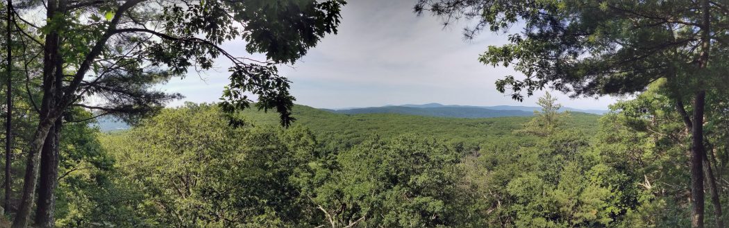
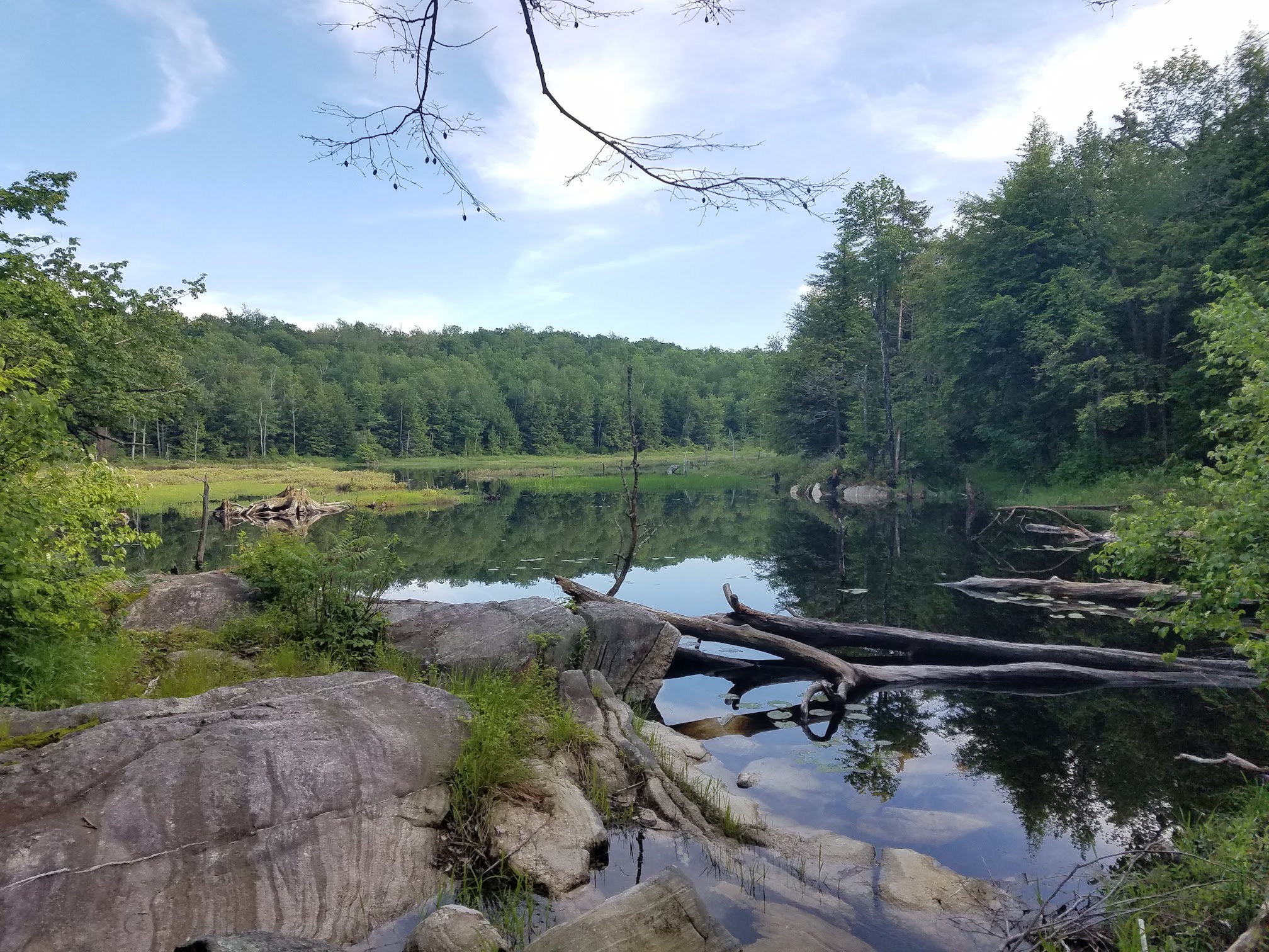
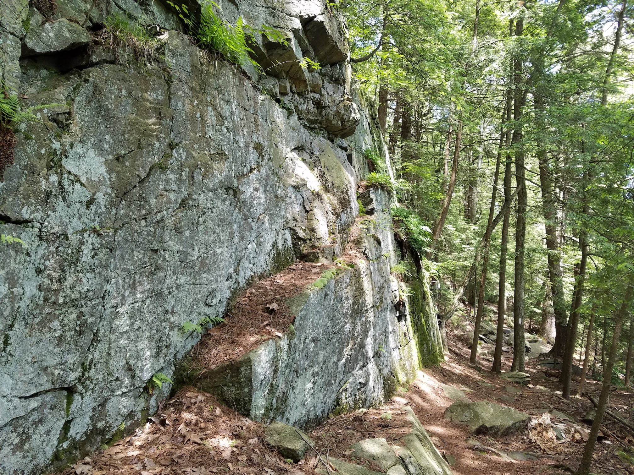
Great scenery 
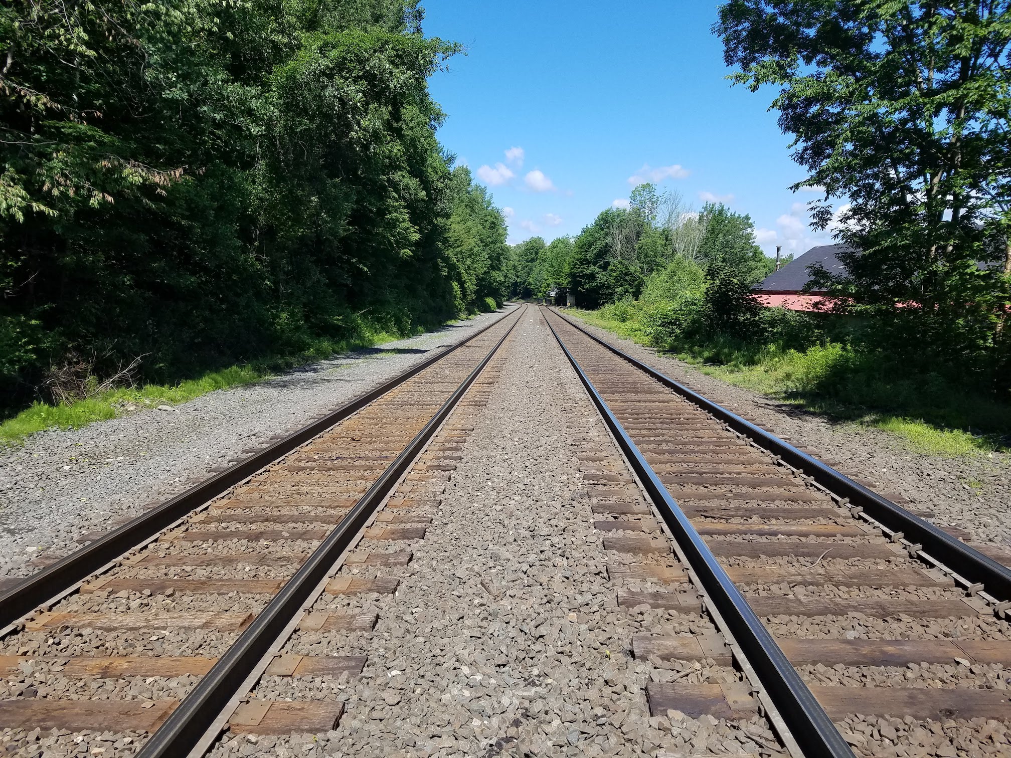
Tracks… 
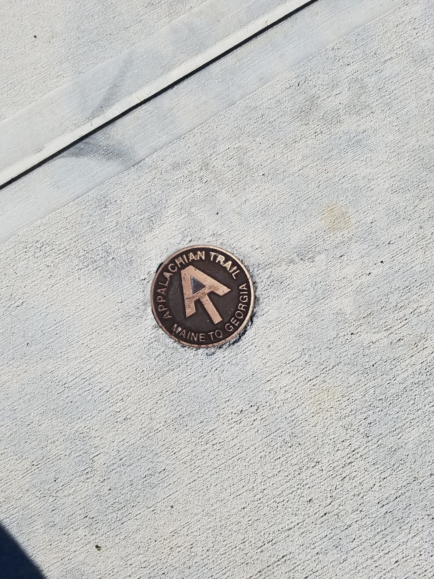
A.T. Marker in sidewalk
The longest day…
When we originally planned our week of hiking, we did not realize that there were no camping options except the designated campsites. Given that, we were not able to do similar miles each day. The longest day we were going to face was day 4, which was nearly a 19 mile hike to get to the Shaker Campsite. After an early breakfast, we hit the trails. We were happy to see that the further south we were going, the mud we dealt with the day before was nearly non existent. With the sun shining, the shoes still soggy, and a lot of miles to cover, Jim and I pushed a pretty good clip, It seemed that after a few days on the trail, we had figured out that the trick to covering miles was to take the climbs slow and steady and make up ground where it was more ‘level’ … using that term very loosely. This was the stretch of trail that would cross the Mass Turnpike, a well known landmark for anybody that has driven it. Somewhere along the way, we talked to some hikers that told us about a trail side stand that had snacks and drinks you could buy. Shortly after a section of trail that crossed through the middle of a cow pasture that was occupied by some mighty fine bovines, we came to a small road. It was there that we saw the little trail side stand, a small shack near a big farm. We were greeted by packs of oreos, chips, candy bars, sodas, and other snacks…all purchased on the honor system. Great prices and a picnic table in the shade, made this the highlight of the day. A northbound hiker joined us, but the conversation was pretty light as we all devoured our pre-packaged and overly processed treats. We got to the Shaker Campsite around dinner time, where a large group of boys from the YMCA were learning what outdoor life was all about. As the evening progressed, more and more hikers arrived, and soon it was wall to wall tents. Despite the crowd, things quieted down relatively early, and it was easy to get a good night’s sleep after a long day on the trail.
More scenery 
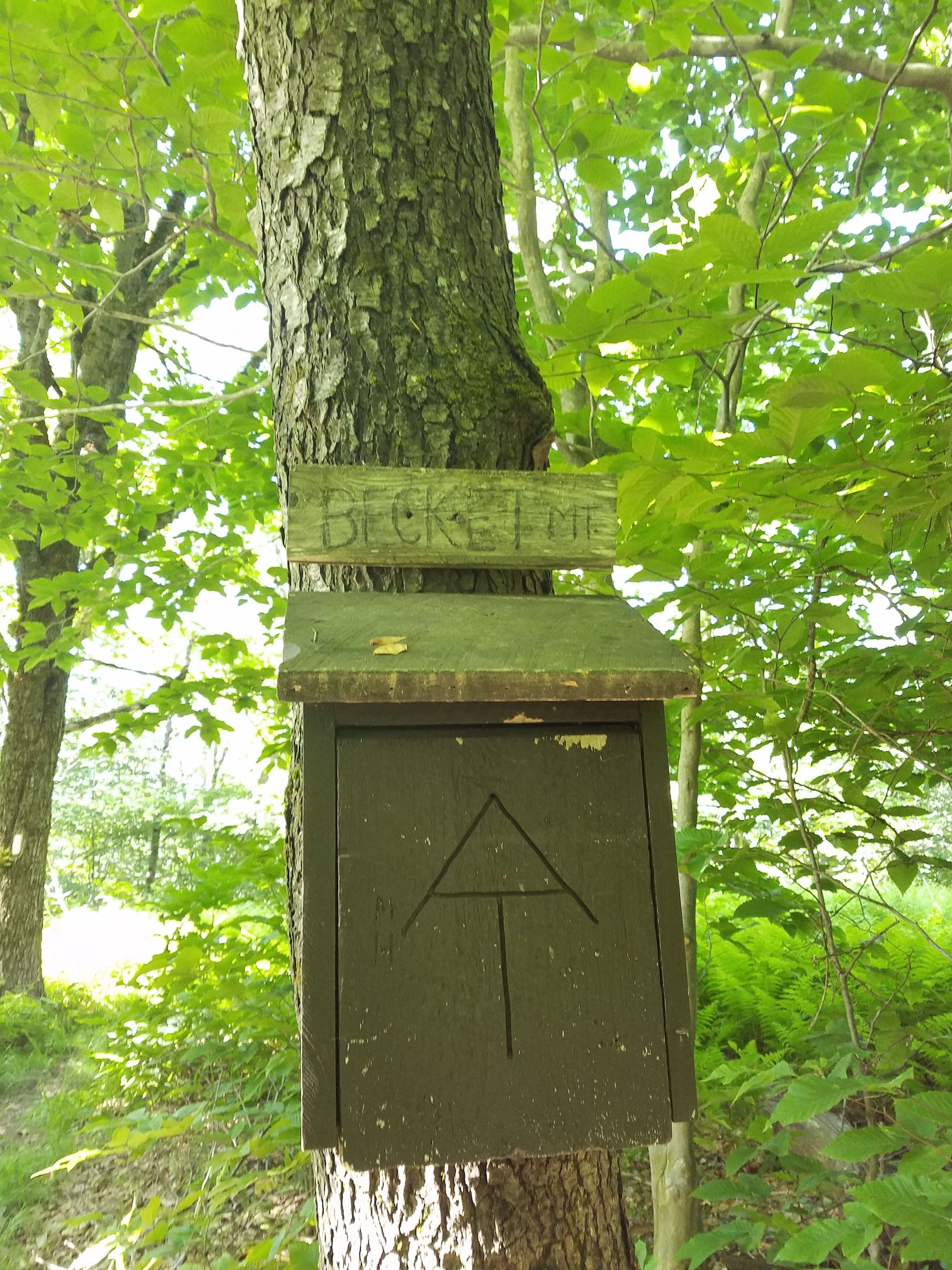
Becker Mt 
Inspiration 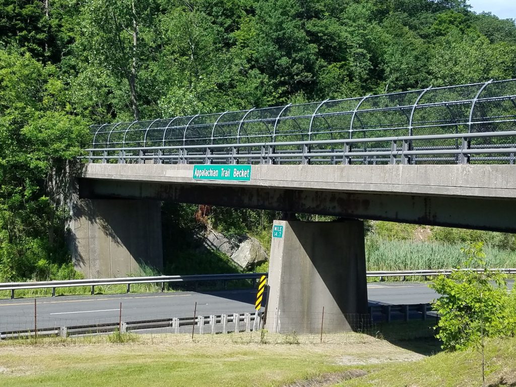
The Bridge over Mass Turnpike 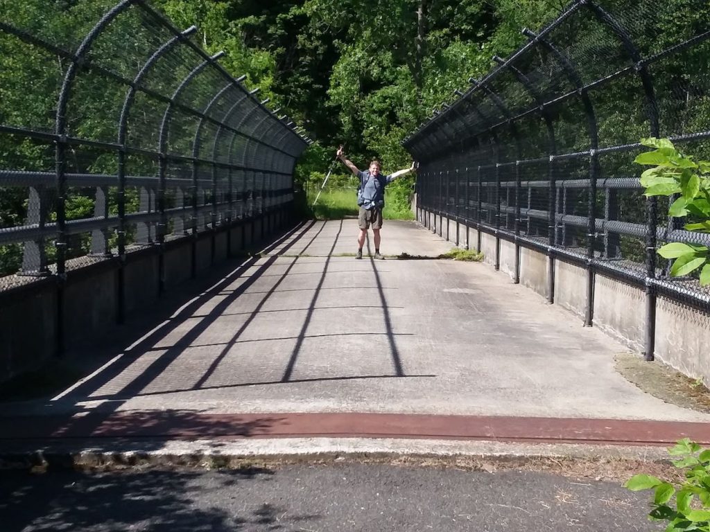
Obligatory bridge pose 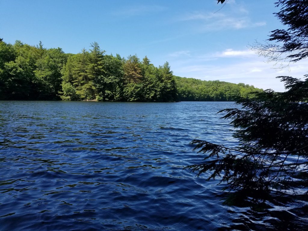
A great lunch spot 
Enjoying lunch 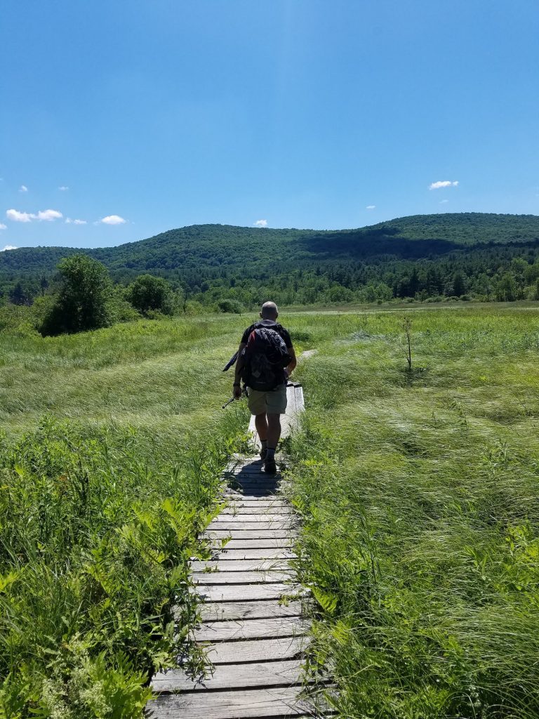
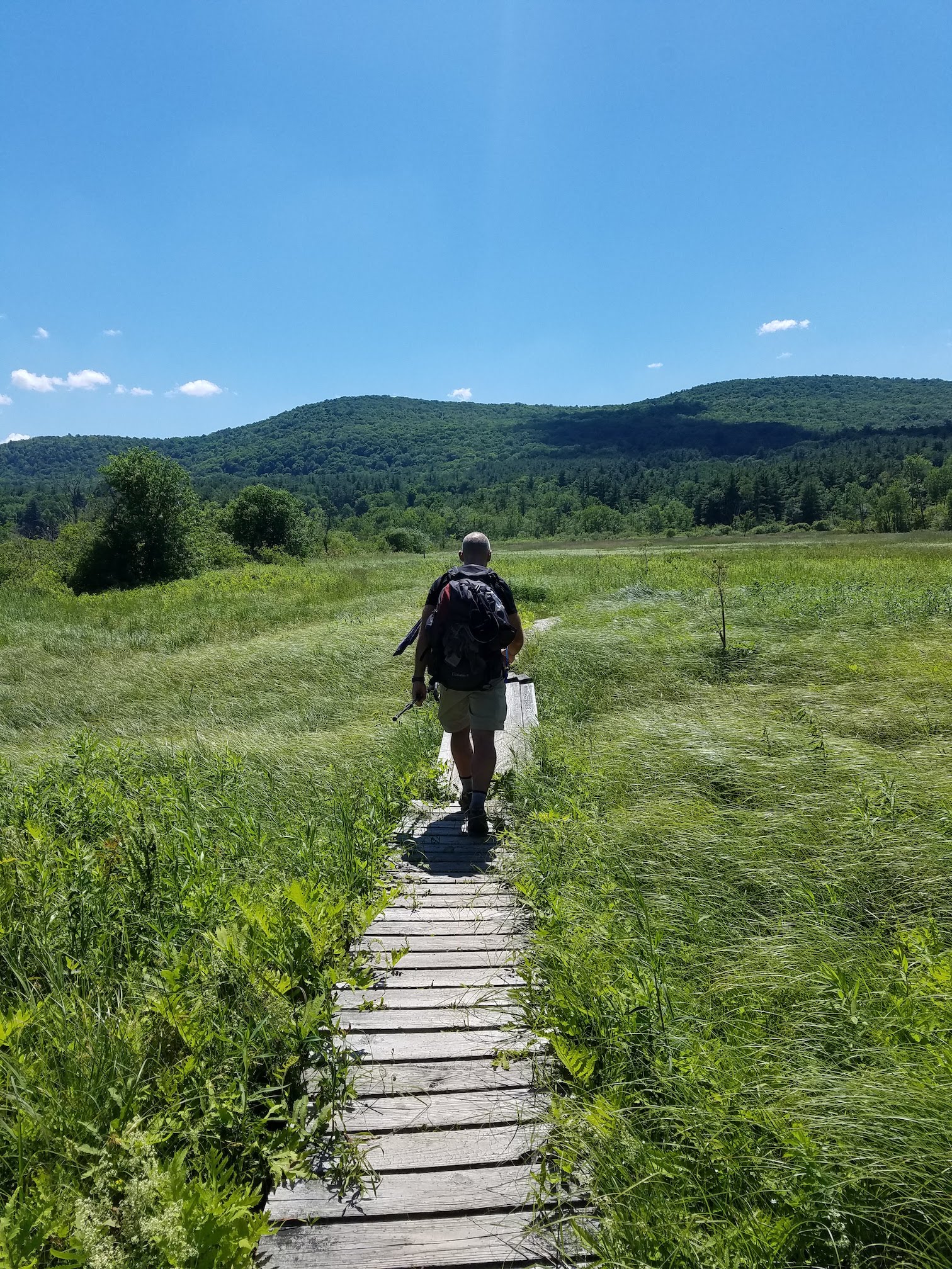
Catwalks through the marsh 
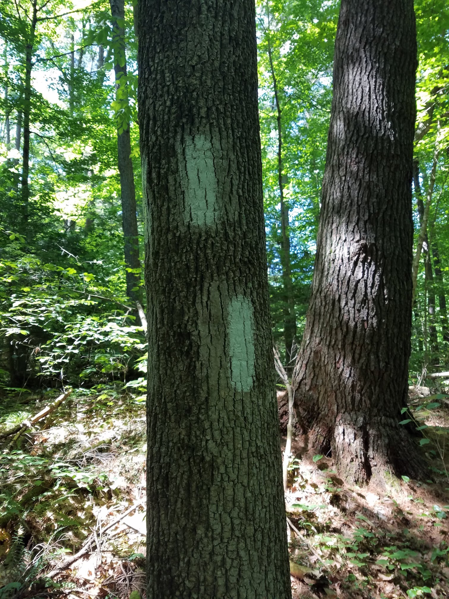
The A.T. Trail Blazes 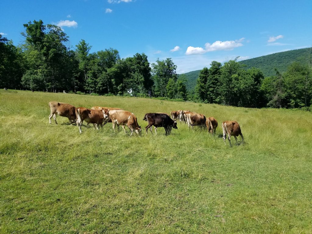
The trail through the pasture 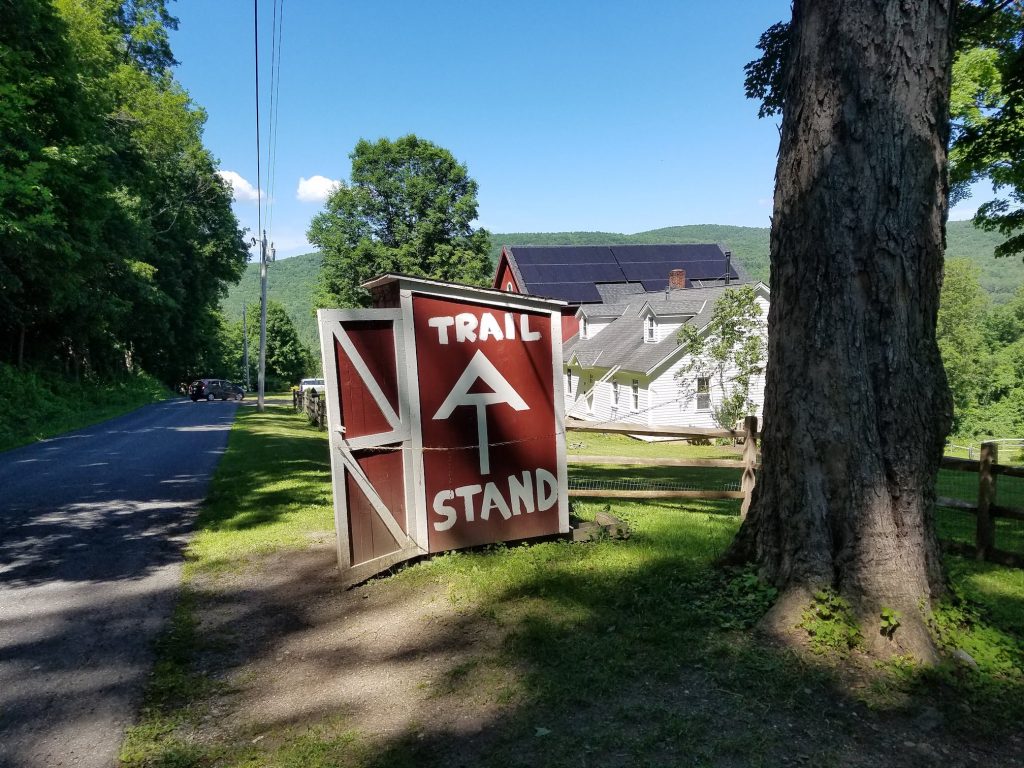
The A.T. Trail Stand 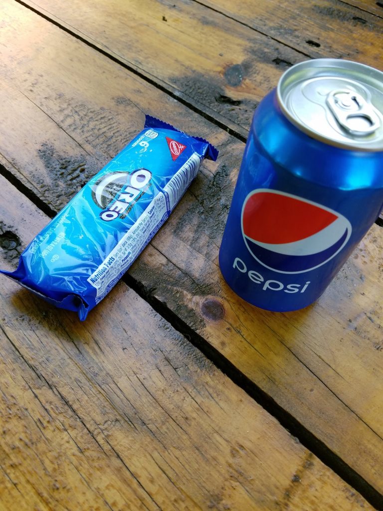
A nutritious snack 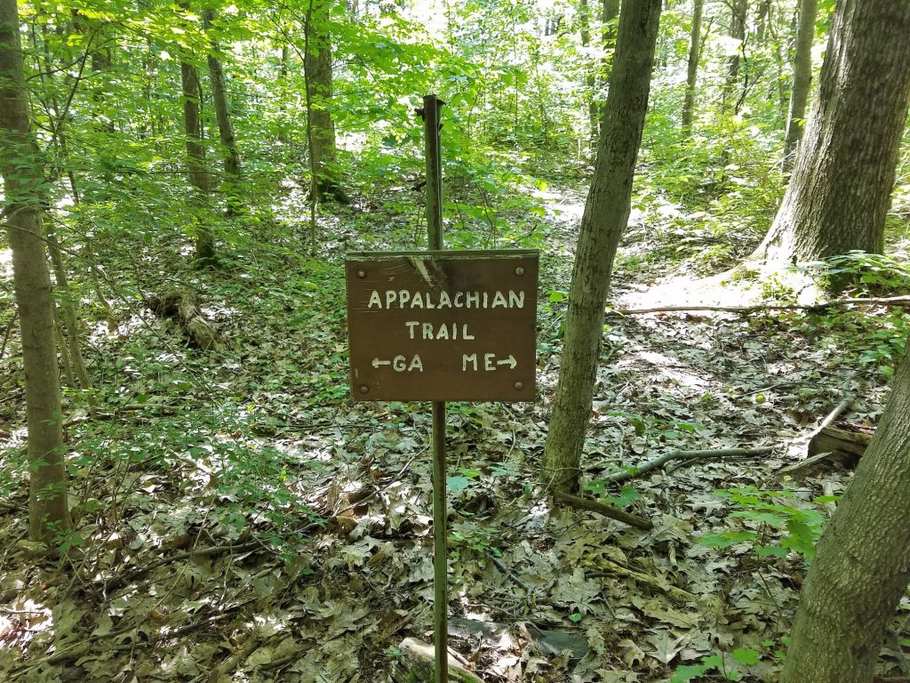
In case you forget 
Camp for the night


Carpenter Ants…
The next day was the shortest stretch we would cover between shelters. We either had to do an 11 mile stretch or a 26 mile stretch, and we chose the shorter. Though a shorter stretch, there was quite a bit of climbing. Once again we were on the trail very early and managed to get through the 11 miles by lunch time. Though we entertained the idea of pushing on, the decision to stop for the day was perfect, and this ended up being one of the most enjoyable days on the trail. Seems the Tom Leonard shelter is the first water stop after an extremely long stretch when heading northbound. So, there were people stopping in all day long. Now, it should be noted, that the water at this stop was nothing to brag about. The stream was running pretty slow and full of tannins, so despite filtering, it looked like iced tea…and tasted a bit earthy. But it was cold’ish and wet. Throughout the day we met a lot of interesting people. A hiker from Germany with the best trail meal I saw all week, a few thru hikers, a small group of kids from a nearby college, and many more. At one point a lady showed up with a cooler full of submarine sandwiches and homemade treats. She had hiked up from a nearby trailhead to meet some family members that were thru hiking. Despite my best attempt to look sad, hungry, and pathetic, I was never offered a homemade cookie. We met a young guy that was suffering from PTSD from his time in the service. He was hiking with a companion dog that an outfit in Chicago had provided to him as a therapy dog. Then there was a guy that stumbled into camp, grunting and groaning, because he was suffering from the ill effects of a Shingles Shot he received the day before in addition to the biopsy he had on his neck that morning. Despite only being a section hiker, Jim and I questioned his logic in choosing this particular day to go hiking. Much to our surprise, he too survived the night. Even with meeting all these great people, the most memorable part of that day was when I realized that the bunk I had chosen was infested with carpenter ants. I had wondered what the sawdust was from on my bunk when we arrived. But after I swept it off, it continued to fall all over my gear. As I climbed into my sleeping bag for the night, it was then that I then saw that there were literally thousands of carpenter ants crawling around on the frame of the bunk above me. At that point, all the other bunks were taken, so I made peace with the fact that I was going to be killed by ants and fell asleep. I lived!
Ice Gulch 
Tom Leonard Shelter 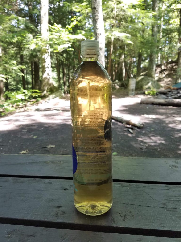
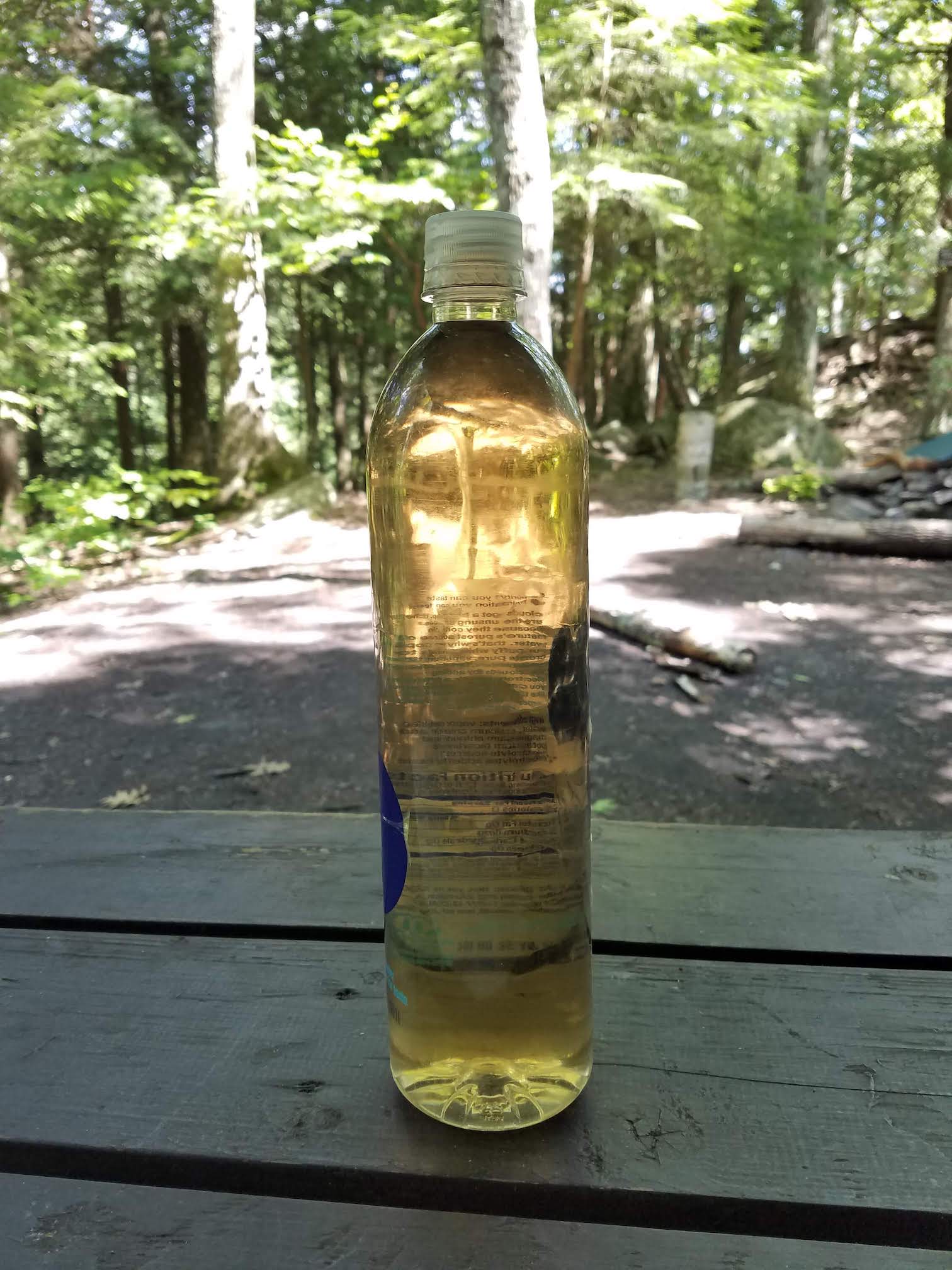
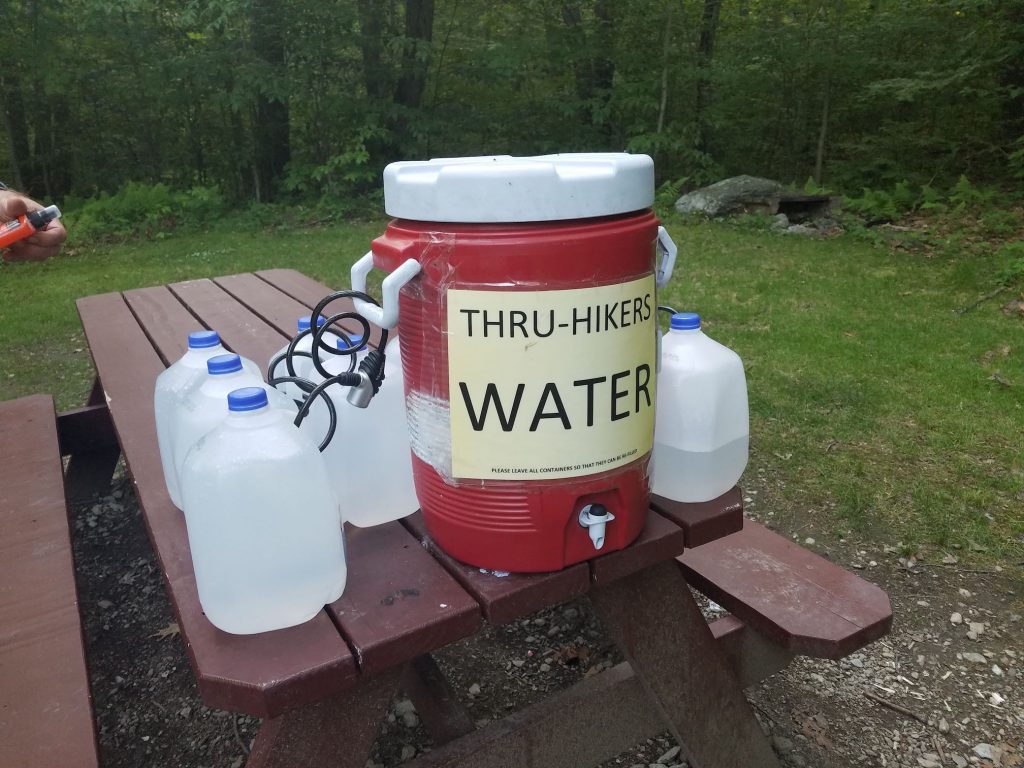
Filtered Water
Playing Santa…
The next day would be our last ‘full day’ of hiking. It was 15 miles to the Hemlocks Shelter. We knew, from those that we met the day before, that we had a long stretch til the next water stop, so we drank up, and filled up, and headed south. As we got to the point where water should be found, we could not find it. Fortunately we ran into a group of guys doing trail maintenance and they pointed us down a seasonal use road to a small stream. After a refill and a quick Snickers Bar snack, we kept heading south. The next leg would be one of the steepest climbs we would encounter during the week. Switchback after switchback, we made our way out of the valley floor, and though the grade lessened towards the top, it was a continual climb all the way to our final stop on the trail, Hemlocks Shelter. Once again, this ended up being a great day for meeting people. We met a Mom and daughter duo that collectively had hiked the A.T. about one and a half times, just out for a weekend in the woods. We met a retired biologist that went to Alaska to work on the Exxon Valdez spill and ended up staying there, and a younger guy that was between careers and decided to take a 2200 mile hike while he had the time. Knowing that we only had a short 7 mile stretch back to our car the next day, we were pretty relaxed as we had our last trail dinner. As I was packing up for the next morning, I realized I had far more food than I needed. I decided to lighten my pack and started handing out meals, snacks, and Starbucks coffee to our new found friends. I’ve never seen anybody so excited to get a packet of Maple Almond butter or bag of instant oatmeal. With a bunk void of ants or any other known living creatures, I slept well as I dreamt of a hot meal and a hot shower that was only one day away.

Checking out the views 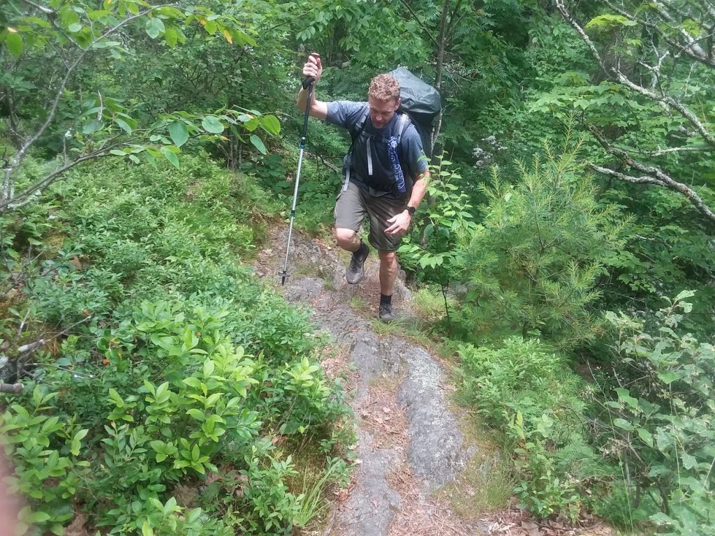
Tough Climbs 
Hemlocks Shelter 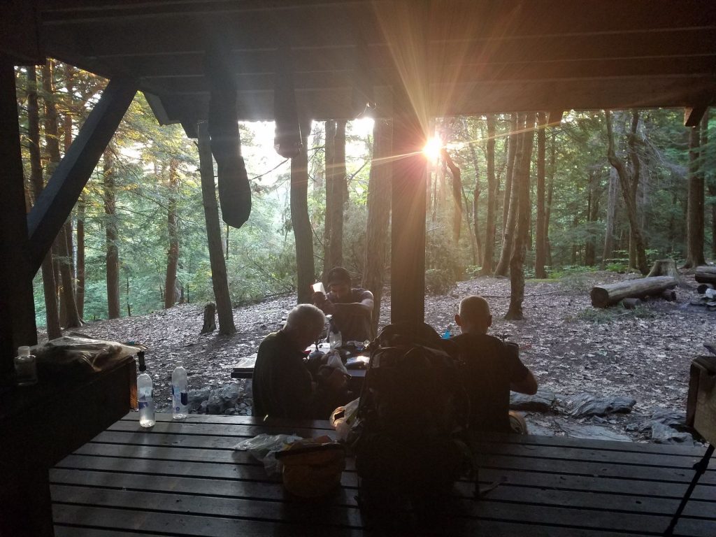
Breakfast 
Sunrise


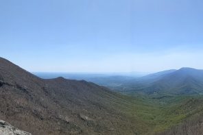
Point of View…
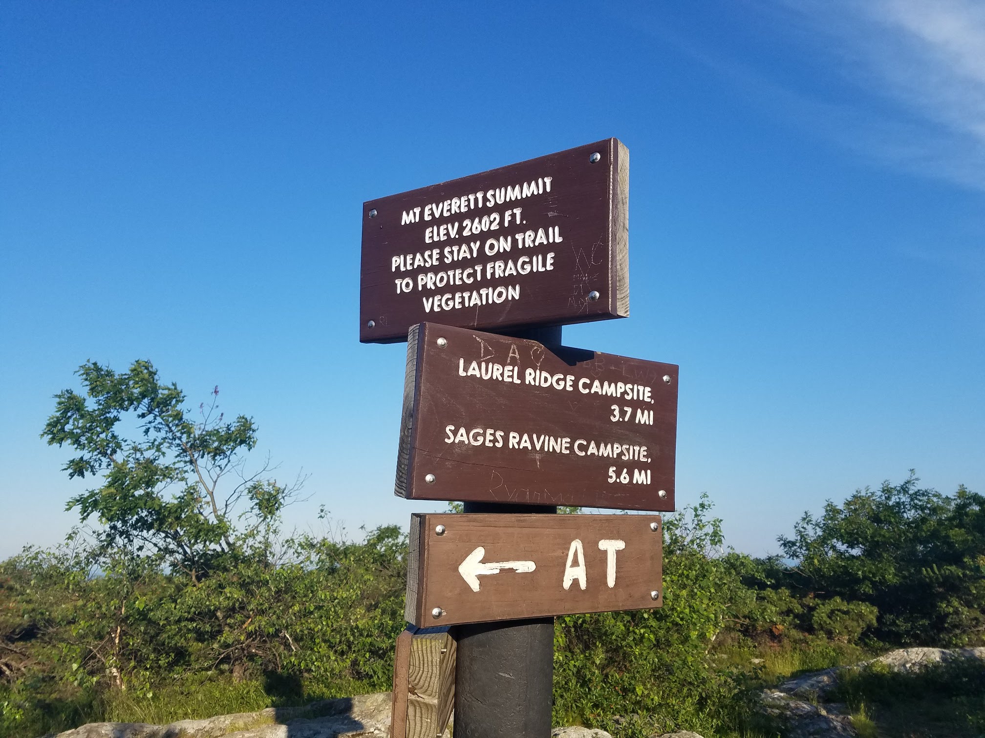
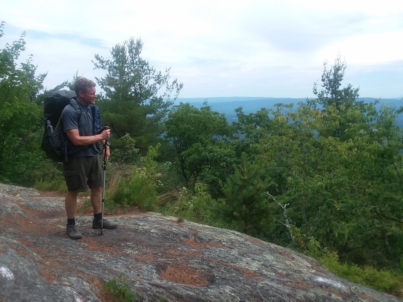
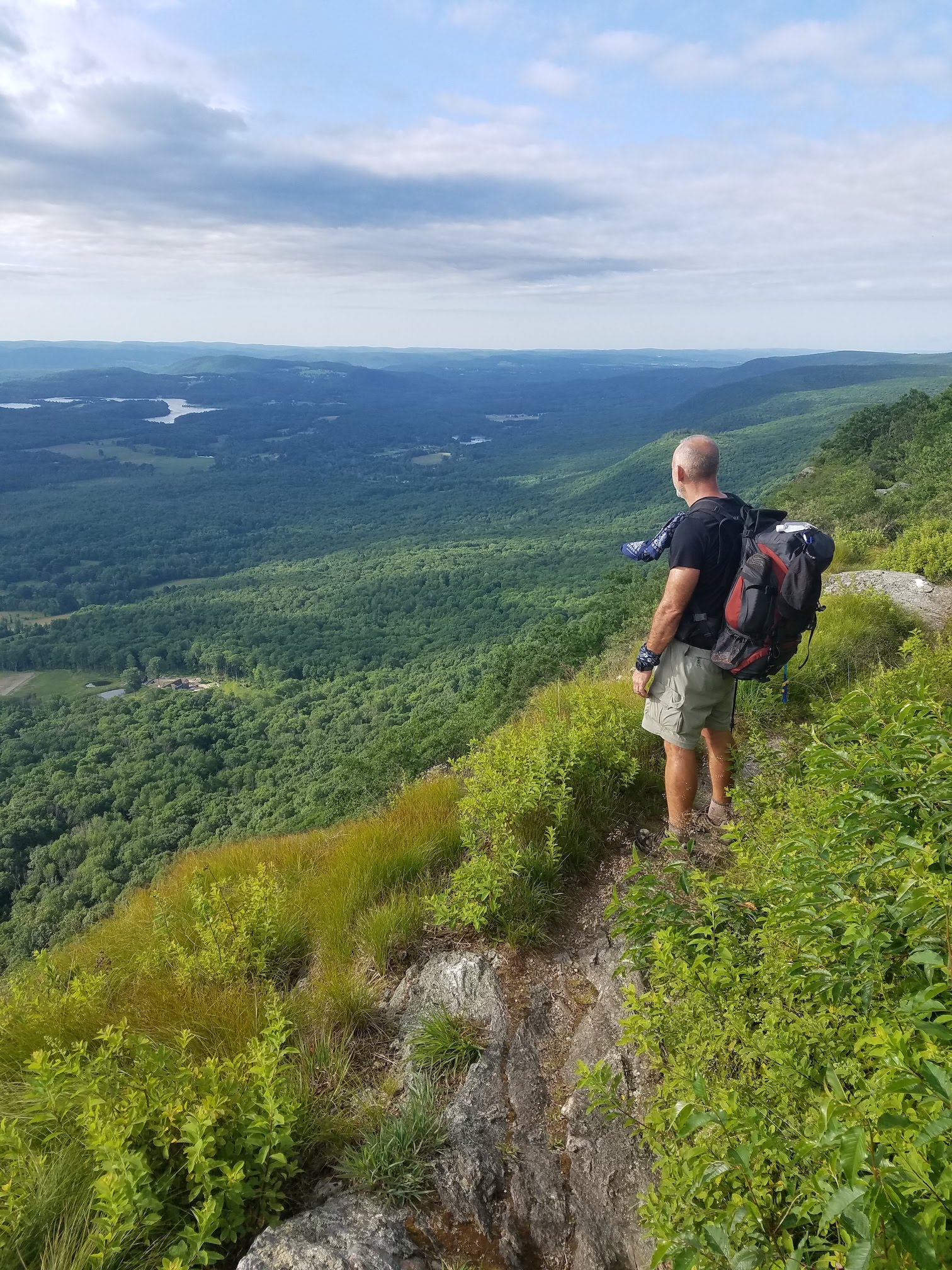
The last seven miles would be the best views of the week. We made our way over Mt. Everett and then up to Mt. Race where the bald top mountain offered unbelievable views both east and west. We walked along the spine of the mountain for a ways, where the trail led us next to some pretty big drop offs down to the valley floor. The trail then meandered down to Sages Ravine where the trail walked along fast running streams with sections of waterfalls and deep mountain pools. Before starting the ascent up Bear Mountain, an unmarked trail took us back towards our car. To make sure we remembered that Mother Nature was clearly in control, it started to rain about one mile from the car. But, being that close to done, we just picked up the pace and quickly made our way back to the trail head.
Trail Water left by volunteers 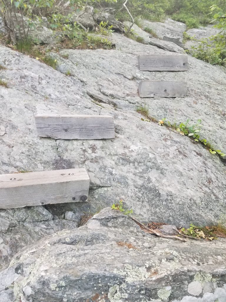
Steps down Mt. Everett 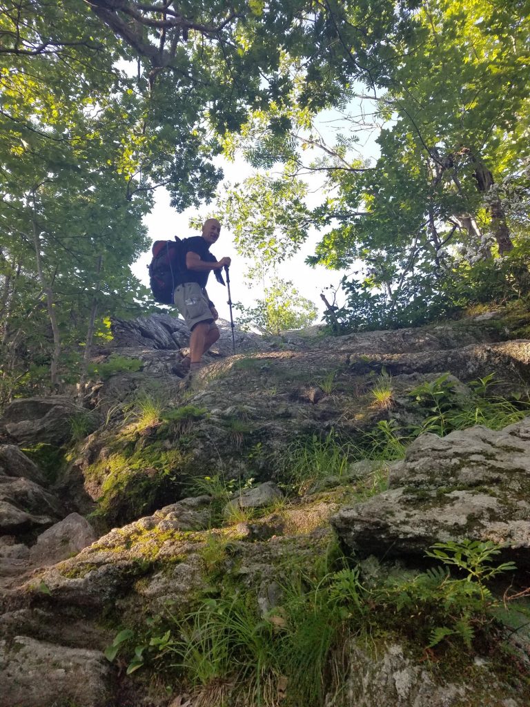
More steep climbs 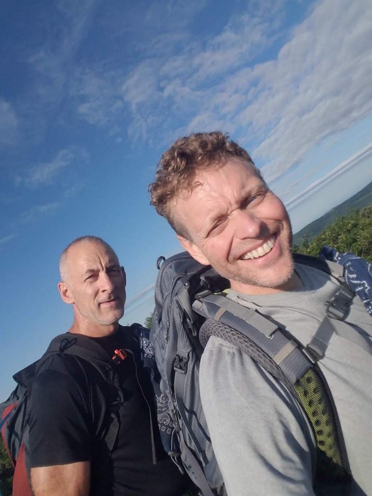
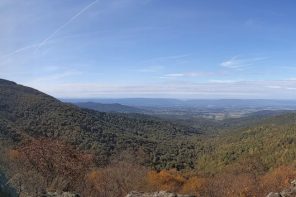
Top of Mt. Race 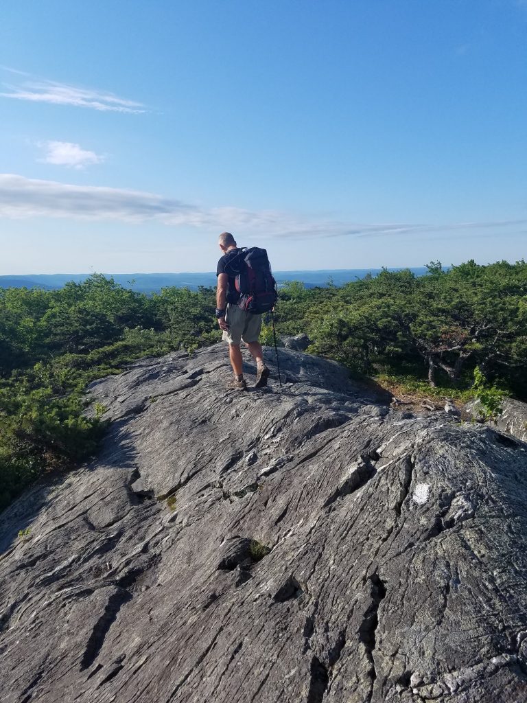
Walking the spine 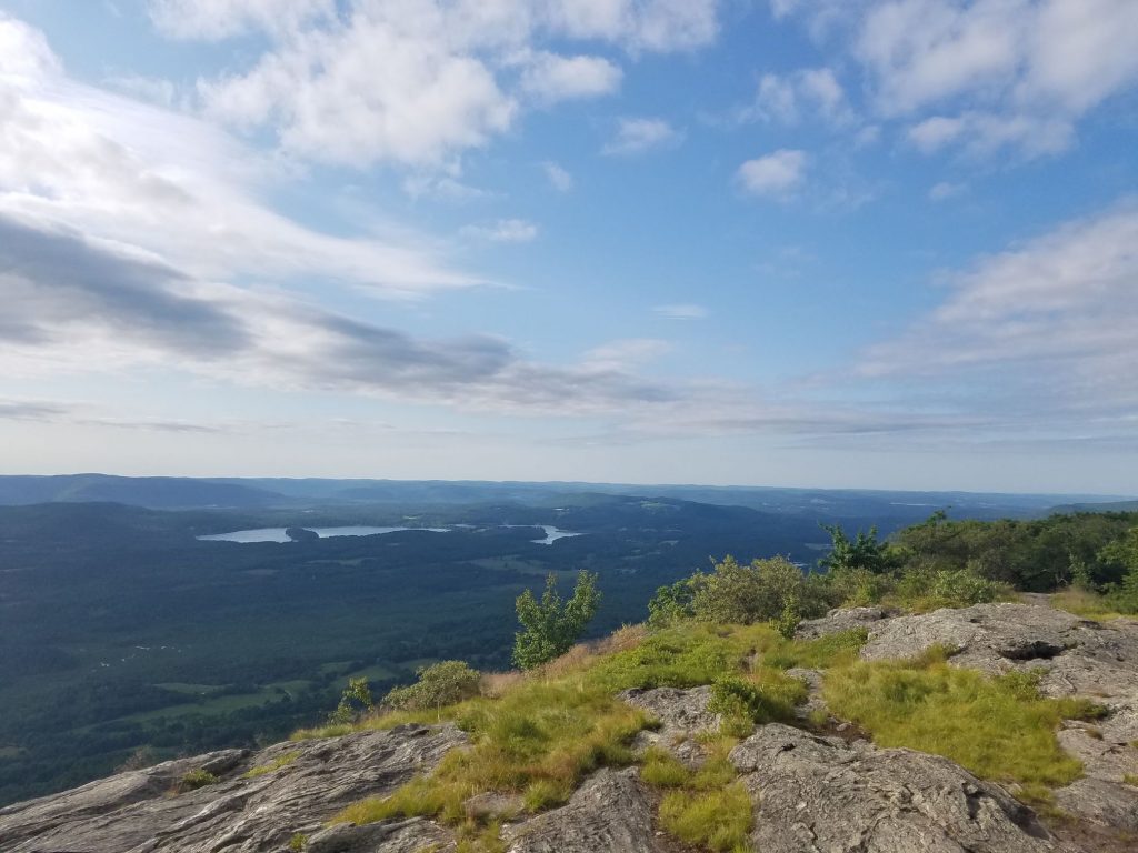
How far can you see 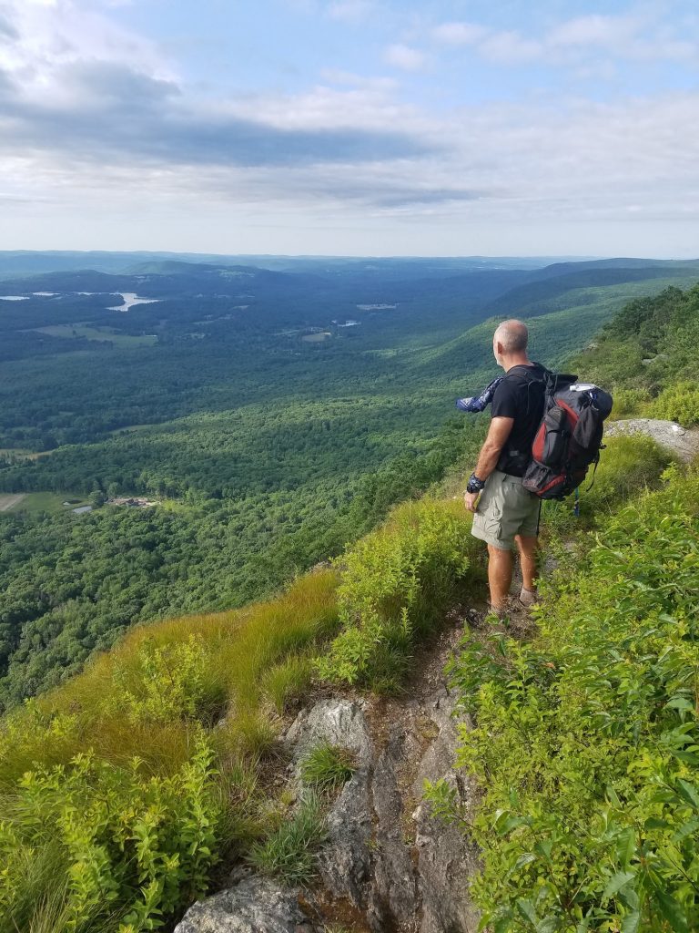
Peering into the valley below 
Connecticut Border 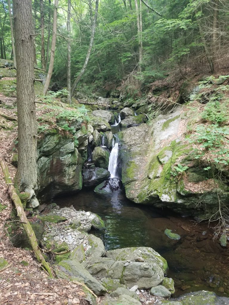
Mountain Streams 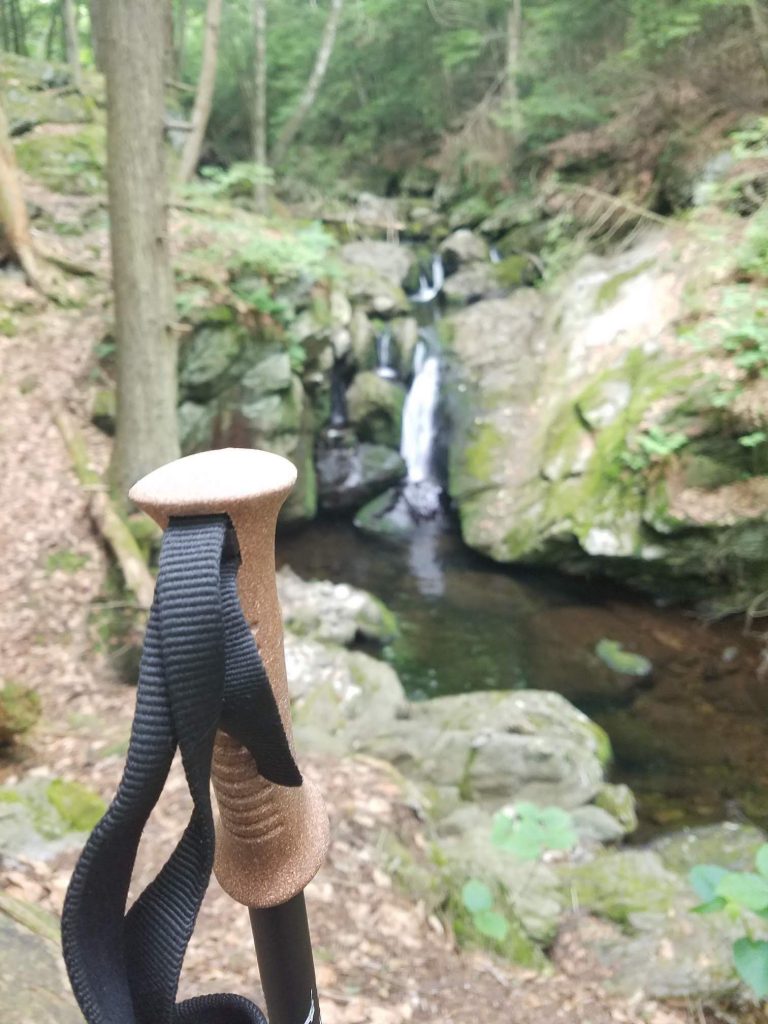
Stay Focused


Reflections…
As we made the drive back north, neither Jim or I could stop grinning. We had set out to do a section of the Appalachian Trail and we had done it. In 6 full days of hiking, we covered 96 miles, took over 229,000 steps, smelled really bad, drank some funky colored water, met some really interesting people, caught up on the three decades of life that had taken place since we had last spent that much time together, and thoroughly enjoyed nature. We were sore and tired, couldn’t quite walk right, but it was so worth it. As we enjoyed a hearty meal and a well deserved barley pop that evening, the only thing yet to figure out was what section we wanted to cover next and how soon could we do it. I can pretty much say I don’t want to be a thru hiker, but can clearly see how it gets in the blood. There’s something special about the simplicity of taking a hike, contrasted with the complexity of actually completing that hike. When you are on the trail, everything you have to make it through is in the pack on your back, and there’s something very exciting about that. You don’t have any idea what may come your way, and you have to be prepared to deal with whatever it is. I only got to taste that for one week, but that’s all I need to know that I loved it and want more of it.
Things to take, things to eat, and things to know…
Though I’m no backpacking veteran, I will share some info on the Gear, Food, and Resources I used both before and during my hike.
Top Gear…
I’m no gear expert, but this is the gear I used. I was pretty happy with most of my choices. My MSR TrailShot water filter slowed to a crawl on day 4, so that will be replaced. I didn’t really need a 65L pack but loved the Osprey Atmos, so I downsized to the Osprey Atmos 50L which will save me some bulk and about 6 ounces. I also dropped the Cold Steel Finn Wolf for a lighter Spyderco Dragonfly which is a couple ounces lighter and less bulky. My total base weight (all non consumables) was right around 22lbs, which isn’t even considered light weight, let alone UltraLight, but was not horrible and with the changes I’ve already made and more in store, I’m working on ways to reduce that weight by a few pounds.
- Pack: Osprey Atmos AG 65 with Osprey Rain Cover
- Tent: Big Agnes Copper Spur UL1 Tent with Big Agnes Ground Cloth
- Sleeping Bag: Kelty Cosmic Down 40
- Sleeping Pad: Sea to Summit Ultralite Mat
- Pillow: Sea to Summit Aeros Pillow Ultralight
- Butt Pad: Therm-a-Rest Z-Seat Pad
- Stove: Snowpeak LiteMax Stove
- Cookware: GSI Outdoors Pinnacle Soloist Cookset
- Spoon: Toaks Titanium Long Handle Spoon
- Food Bag: Seat to Summit evac Dry Sack 13L
- Coffee Mug: GSI Outdoors Infinity Backpacker Mug
- Water Filter: MSR TrailShot Pocket-Sized Water Filter
- Water Bottles: Smart Water Bottles
- Battery Charger: Anker PowerCore 10000 Portable Charger
- HeadLamp: Black Diamond Spot325 Headlamp
- FirstAid: Adventure Medical Kits Ultralight/Watertight .5 Medical Kit
- Shovel: Deuce of Spades
- Hiking Poles: L.L. Bean Ridge Hiker Compact [Komperdell]
- Knives: Swiss Army Classic & Cold Steel Finn Wolf
- Other: Compass, Zip Lock Baggies, Lighter, Matches, Paracord, Compactor Bag, Carabiner, Bug Spray, Compact Towel, Sun Screen, Cables, Extra Batteries, Toiletries
Food Facts…
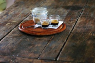
My food choices worked out pretty well. I was a little heavy on ‘meal’ type food and a little lite on ‘snack’ type foods. I also learned that Tortilla’s are the bomb. Cover them with some PB&J or pre-made Tuna and you have a great meal. The guy we met from Germany covered a tortilla with sliced cheese and pepperoni and rolled it into the best Pizza Log on the A.T. That will be in my pack next time. For my next hike, I will bring more smaller items. I’m a big fan of coffee, and the Starbucks Via instant coffee was perfect. I’d drink it hot in the morning and night, and would often mix it with cold water for an ‘iced coffee’ experience as a midday pick-me-up.
- Tortillas
- Peanut Butter / Almond Butter Packets
- Jelly Packets
- Tuna Packets
- Ramen Noodles
- Mountain House Dinners and Breakfasts
- PopTarts
- Clif Bars (and other assorted energy bars)
- Candy Bars
- Oatmeal
- Dehydrated fruits
- Beef Jerky
- Nuts
- M&M’s
- GNU Tablets
- Starbucks Via Instant Coffee
Resources…
A book that you will see on the trail is the A.T. Guide by David AWOLMiller. It documents the whole trail including landmarks, campsites, water sources, and other useful info. Just remember to buy the guide that matches the direction you plan to hike (Northbound/Southbound).
Before my hike, I did a bunch of YouTube watching to get ideas from other hikers. My three favorites were Darwin On The Trail, Homemade Wanderlust, and Dan Becker. They each brought a unique perspective on hiking, food, gear, clothes, and what they learned on their trips.
Here are the links to their Youtube Channels:
The Guthook App is a great phone app that uses your phone’s GPS to track where you are on the trail and also has key info like water stops and campsites. It requires no cell coverage. You do have to purchase the maps for the sections you plan to hike, but it’s not very expensive, and it’s a great app. It was this app that helped us navigate back to the trail when we got off track.
Other Trail Notes…
The campsites throughout Massachusetts are really nice. The tent sites were nice and flat, or they had pressure treated platforms where it wasn’t. The Lean-Tos seemed to be in good order. Each site was equipped with a bear box and a privy, keeping both eaten and uneaten food in a safe and contained spot.
What’s in a Trail Name…
I had heard that most hikers on the A.T. have a trail name. Seems a lot of times that is a name given to a hiker from those they hike with, others are self chosen. Being a section hiker, I wasn’t really sure if I was worthy of such a thing, and pretty much went by the name on my birth certificate for the duration of the hike. A mishap that occurred at the first trail head, before we took even one step, where the button blew off my hiking shorts and was replaced by a safety pin for the week almost earned me the name “Safety Pin”…but it seemed to need too much explaining, and I just stuck with Craig.