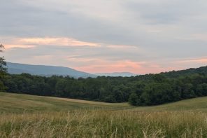
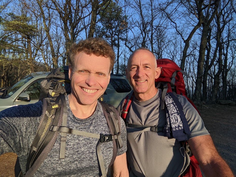
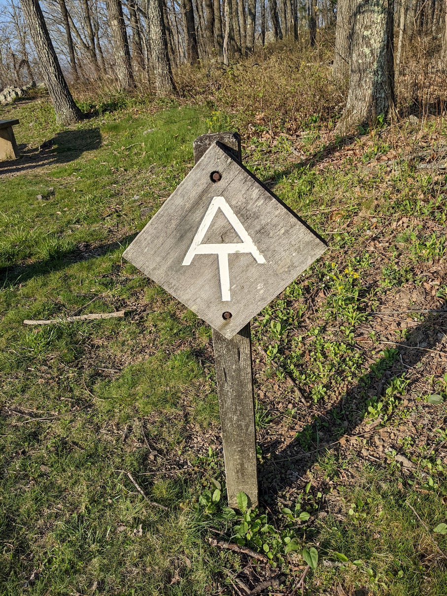
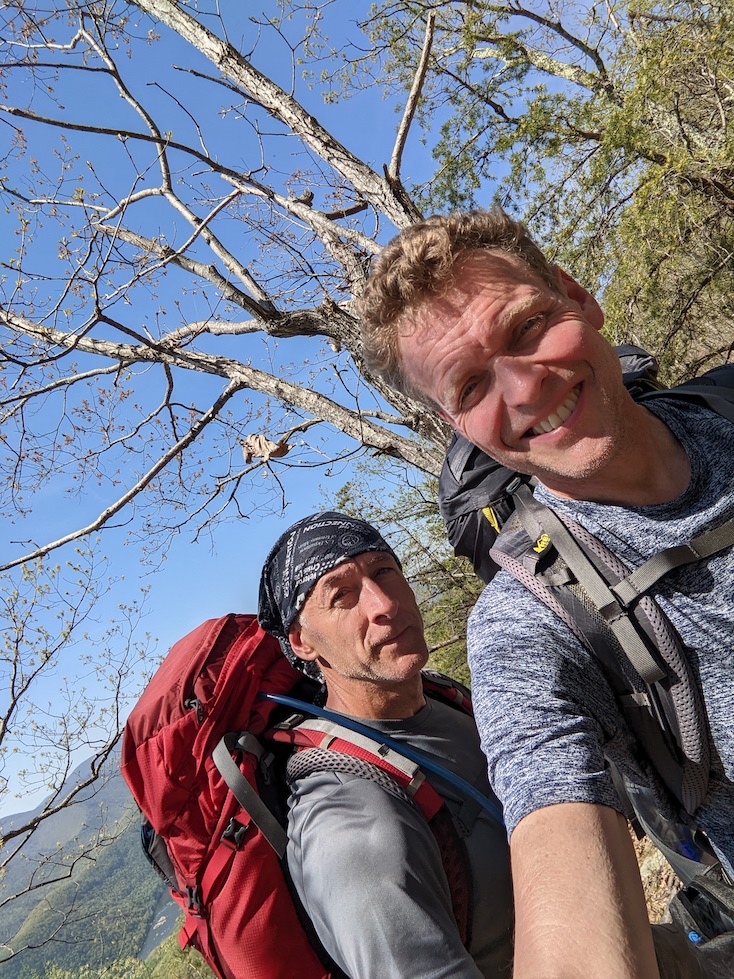
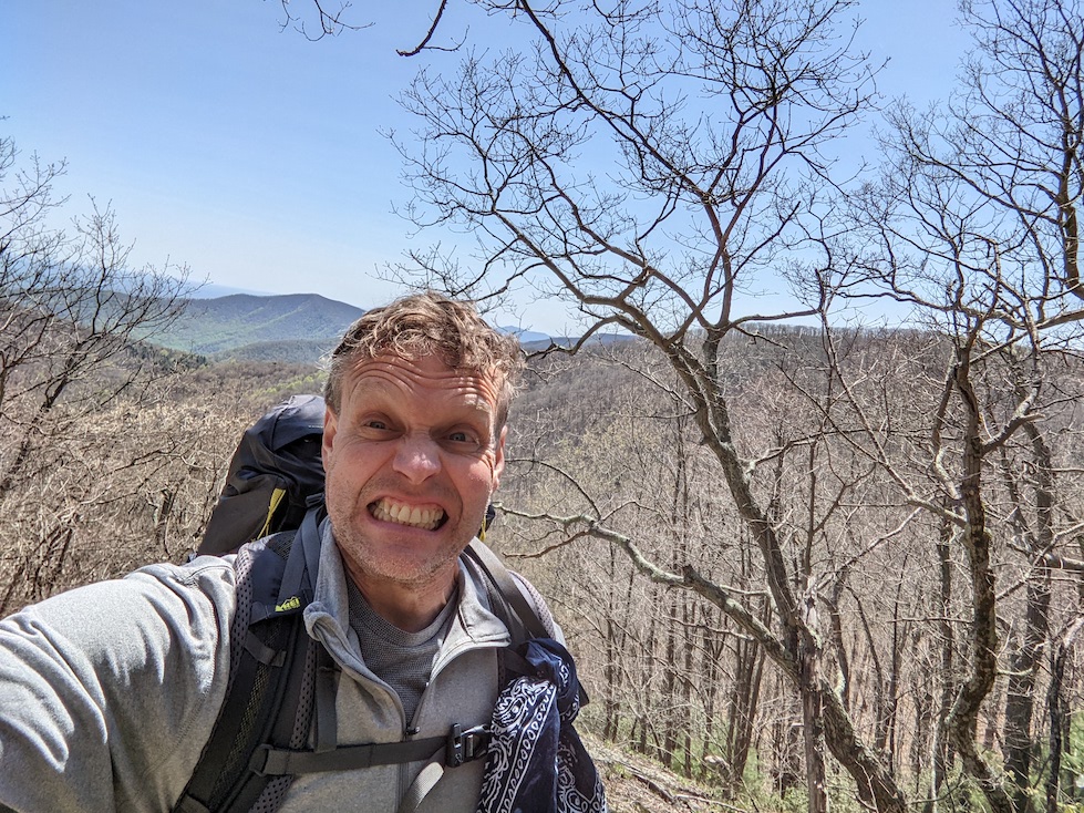
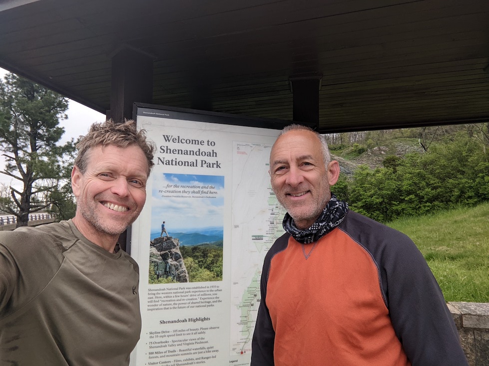
If there’s one thing I’ve learned since becoming an Appalachian Trail section hiker, is that not all sections are created equal. This past month my high school buddy Jim and I finished our fourth section hike of the AT, starting just north of Roanoke, VA and ending at Rockfish Gap, VA at the same point we finished our 2020 section hike. Once again, this new section of trail brought with it new challenges, new experiences, and new things to love about hiking the AT.
Planning…
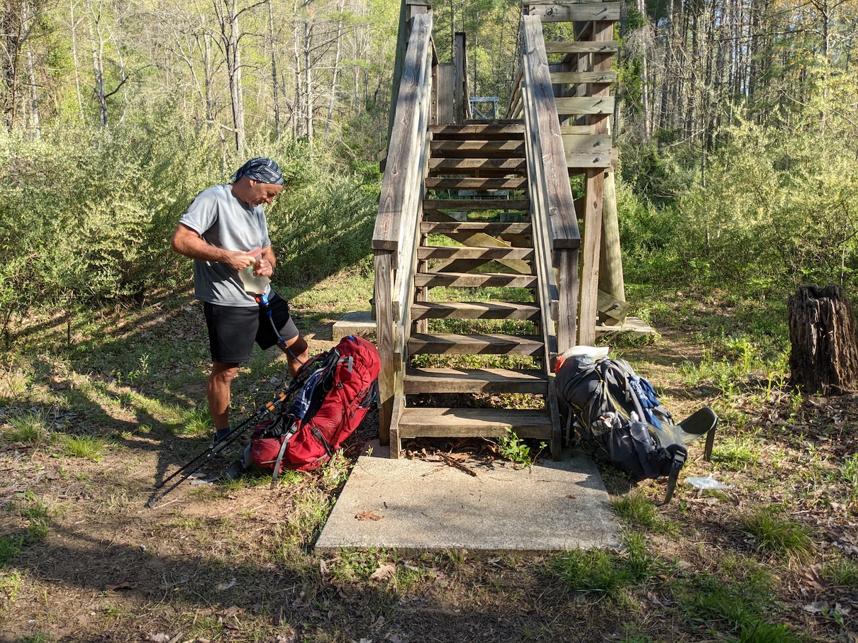
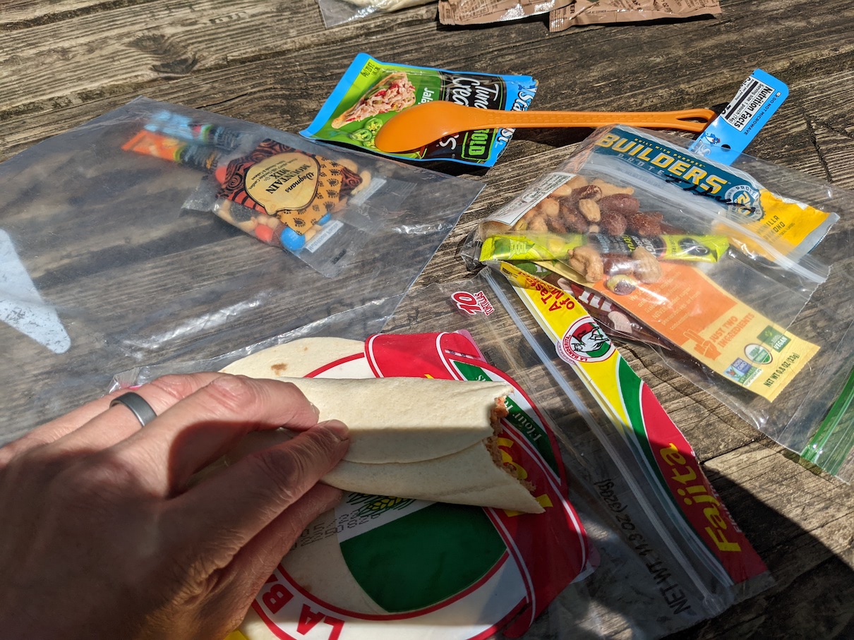
I’ll admit that I take great joy in planning my various adventures in life. Whether it’s figuring out the gear I’ll need, the route I’ll take, or the food I’ll snack on throughout the day, planning an event like a section hike is fun for me. With only a little more than 300 miles of the 2200 miles the AT has to offer under our belt and having more life in the rear view mirror than we have through the windshield, we have come to realize that if we only tackle 100 miles each year, we’re gonna be mighty old by the time we get this thing wrapped up. Given that sobering detail, we decided to up our game this year and tack on an additional day and about 20 more miles of trail to our week-long adventure. After studying the trail maps for shelter and water locations, we decided that straying from our traditional southbound trajectory worked better for both our starting and ending days, and the days in the middle would work out the same no matter which way the compass pointed. There were no convenient resupply options on this 120 mile stretch of trail, so we were going to have to start our week with all the food we’d need for the entire hike.
Getting there…
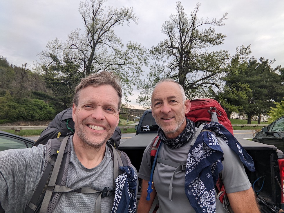
Friday morning I headed south from NY and Jim headed north from GA and we met on Friday afternoon at the north end parking lot in Rockfish Gap, VA and then drove south to Roanoke, VA, where we’d get one more night of running water and a non-freeze dried meal. Saturday morning, with a good night’s rest, we made our way to the Blackhorse Gap Parking on the Blue Ridge Parkway by 7:30AM, where we’d pick up the AT and start our northbound trek.
I guess I should have tested that…
In year’s past, we did our car shuffling the day we started our hike, which usually meant we’d be hitting the trail late morning. Because of this, most of our first day distances were around 10 miles or so. With the car shuffling already complete, we got an earlier start this year. Due to the shelter locations and amenities (ie. a water source), our first day on the trail would be 18.4 miles, with some descent climbing along the way. The morning started off cool, but an early season warm spell meant temps would be reaching the mid 80’s. Adding to the challenge of this already challenging day, we knew we had a 10 mile stretch with no available water, so a few miles in, we stopped at a small stream to top off our water bottles. It was at this moment I realized I had not tested all my gear for this year’s hike. I filled up my water filter bag and as I tried to squeeze some dirty stream water through my Sawyer Squeeze filter to fill my bottles, nothing was flowing through, not even a single drop of water. At the same time, Jim’s filter bag burst at the seams. Fortunately he had a spare filter bag. As I borrowed Jim’s filter, he proceeded to try all sorts of tricks to get my filter flowing again, with little success…though it was starting to let a few drops of water through. I’ll admit that I was a little uneasy knowing we’d have to go the next 116 miles with only one water filter between us. The other mistake I made was to attempt to conserve my water from that moment of the day on…which would turn out to be a very bad decision and caused a bit of dehydration.
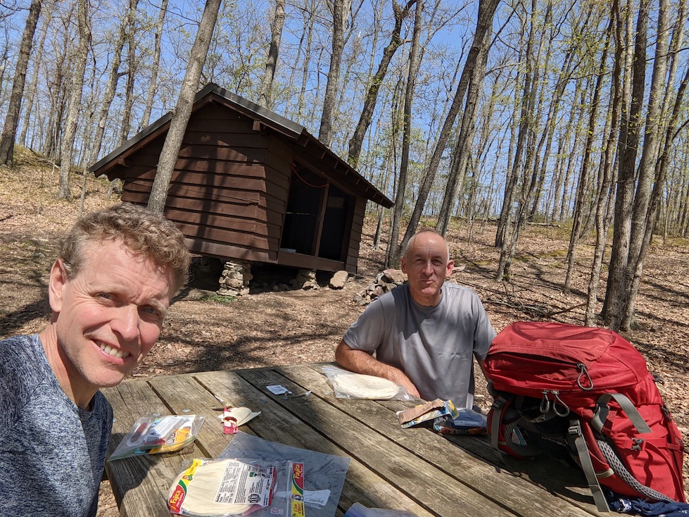
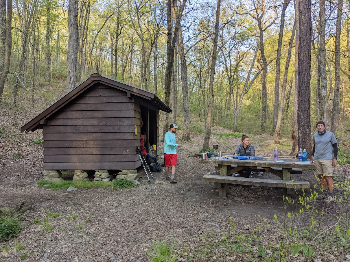
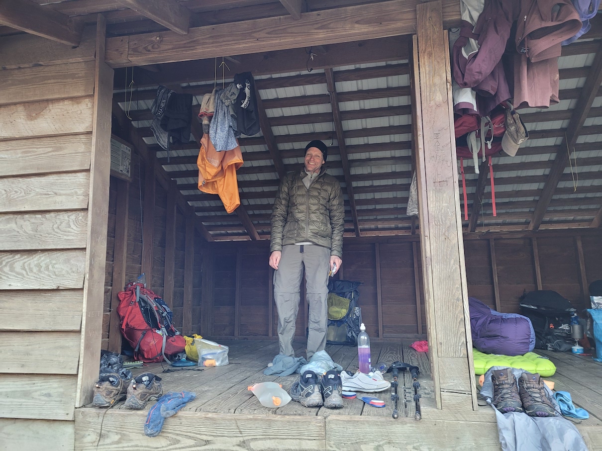
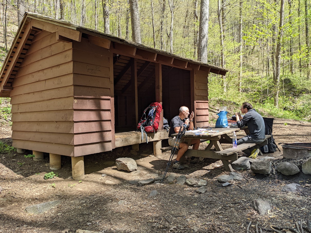
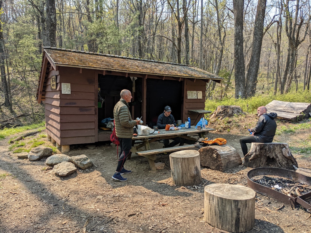
The first day seemed like a longer day than it probably was, the result of the temps, the climbs, and a pretty big distance for not having built up any trail legs yet. Before your trail legs kick in you climb a hill and mental and physical weakness coaxes you to stop where only your will keeps you going. Most hikers get their trail legs somewhere near week 2, but we have found the hike getting easier by day 3 or 4, either from reduced food weight in our packs or from warming up to the daily abuse. We ended up arriving at the Bryant Ridge Shelter just before 4PM, where we met a woman that was only two sections away from completing the entire AT. …and then the miracle happened. Jim and I were talking about my water filter issue, which still had not been resolved, when this woman said she had an extra filter that I could have…for free. I was so relieved, this free filter was well worth paying for and I quickly grabbed a twenty dollar bill and did a ‘Buy It Now’ right there in the woods. With that issue solved, I breathed a sigh of relief and started to enjoy our evening at camp. A girl from Michigan, who was thru hiking, showed up just before dinner time, and we all enjoyed some high quality freeze dried meals and random chit chat around the picnic table before the sun went down. Despite a less than perfect start, it was still great to be back on the trail.
Big miles and big climbs…
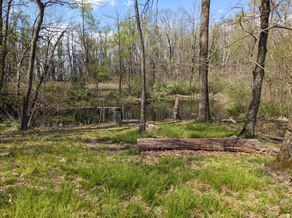
Day two is where we started to realize that this stretch of Appalachian Trail was not like the others we had tackled to date. We had made the decision to cover about 23 miles on our second day. This would be the longest single day for the week, and I think the idea of getting it done this early in the trip sounded appealing. Well, where we went wrong was not looking carefully at the elevation profiles. Not only was this a big mile day, coming right off a long first day on the trail, but we’d be starting our day with a 3,000’ climb and adding several other climbs to it throughout the day. There’s not a lot of good I can say about this day of hiking. It was hot, I was still paying for my bad decision to conserve water the day before, and we were on trail for about 11 hours by the time we arrived at Matt’s Creek Shelter, our stop for the night. There we were greeted by a Dad, his daughter and her husband, and their two four legged hiking companions who were all out for a week long section on the trail as well. We enjoyed the rest of the evening getting to know them a bit, while we attempted to recover from a very tough day on trail.
Short and Steep, and not so Sweet…
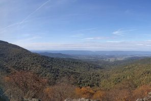
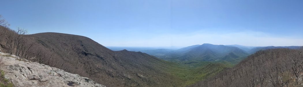
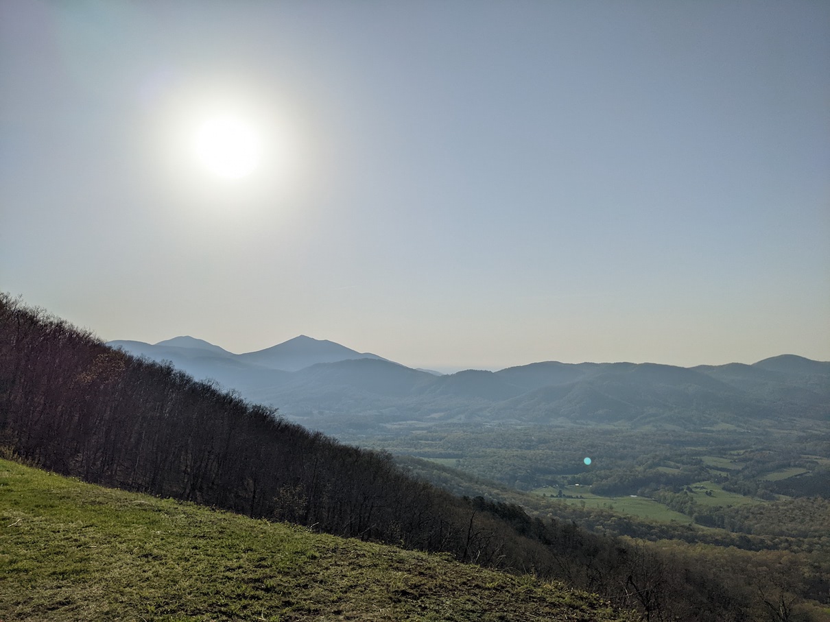
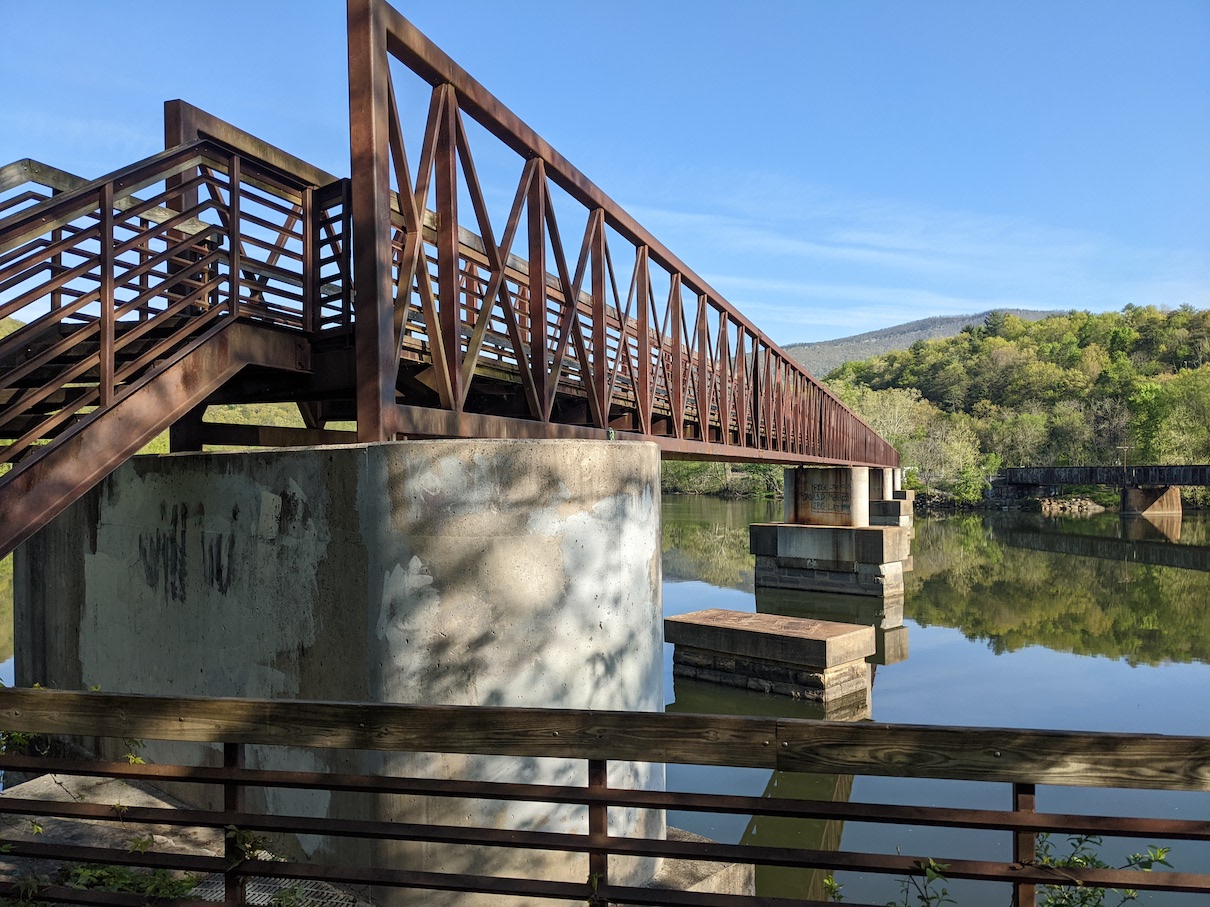
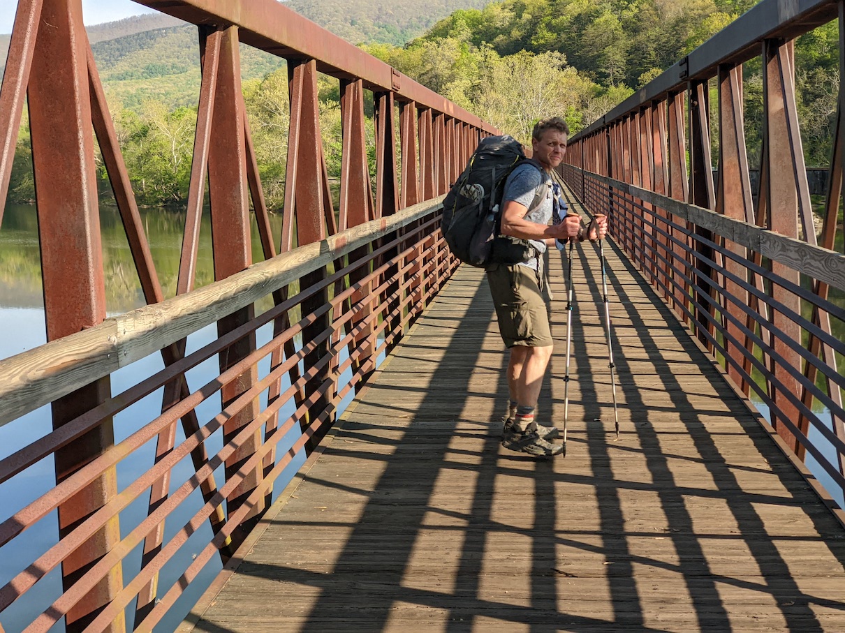
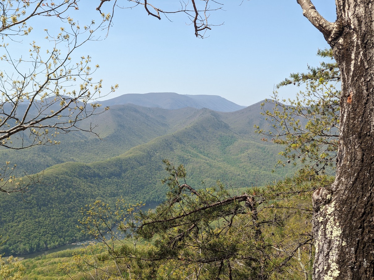
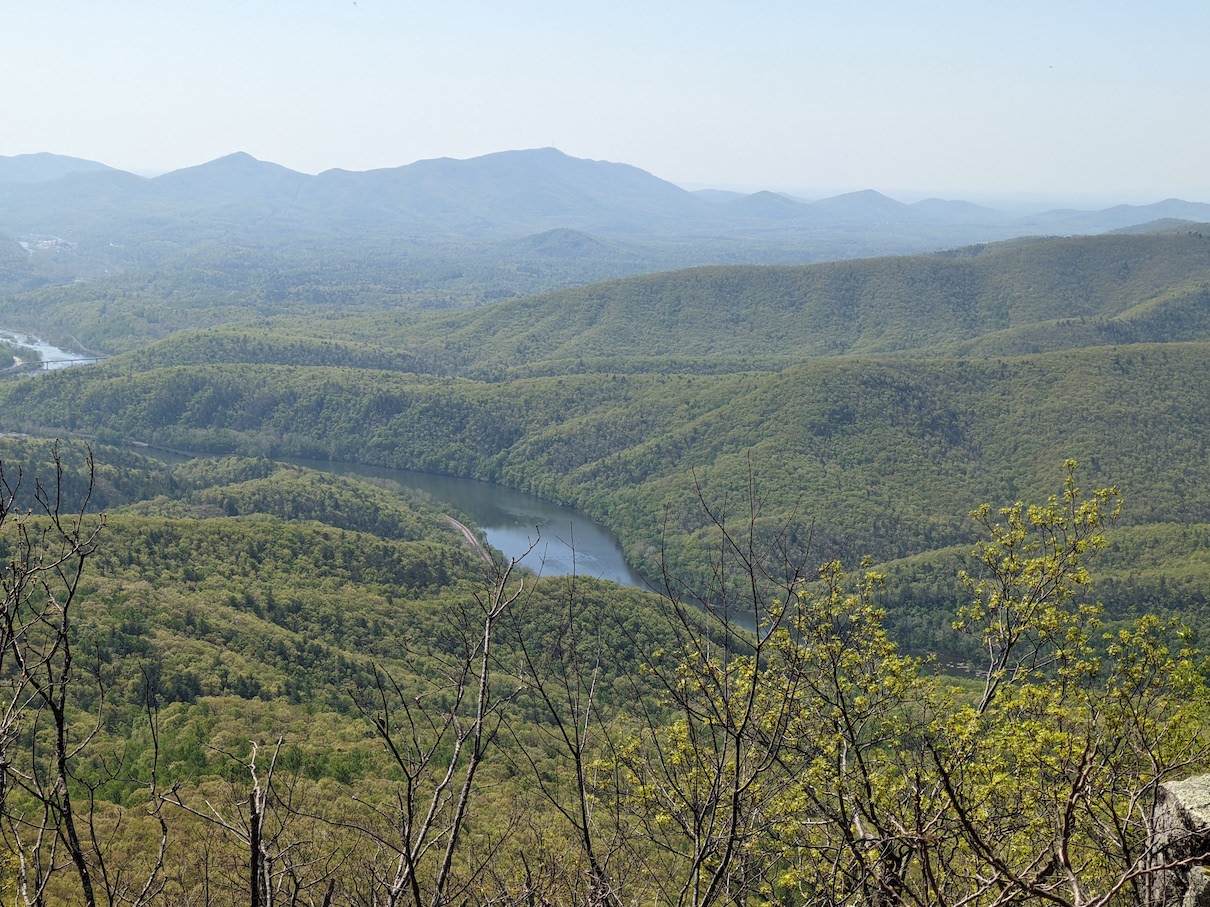
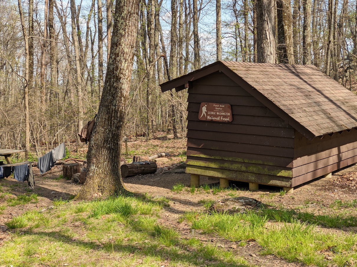
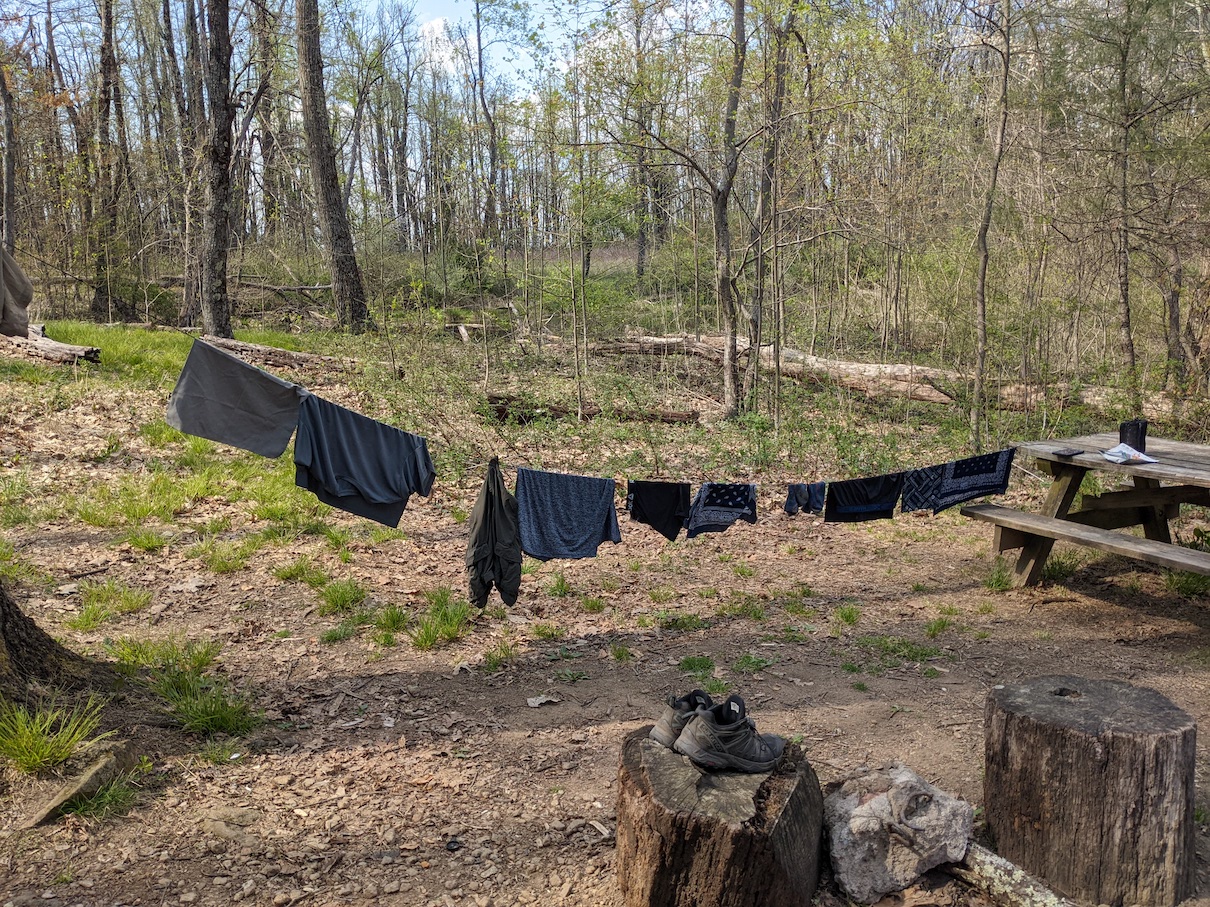
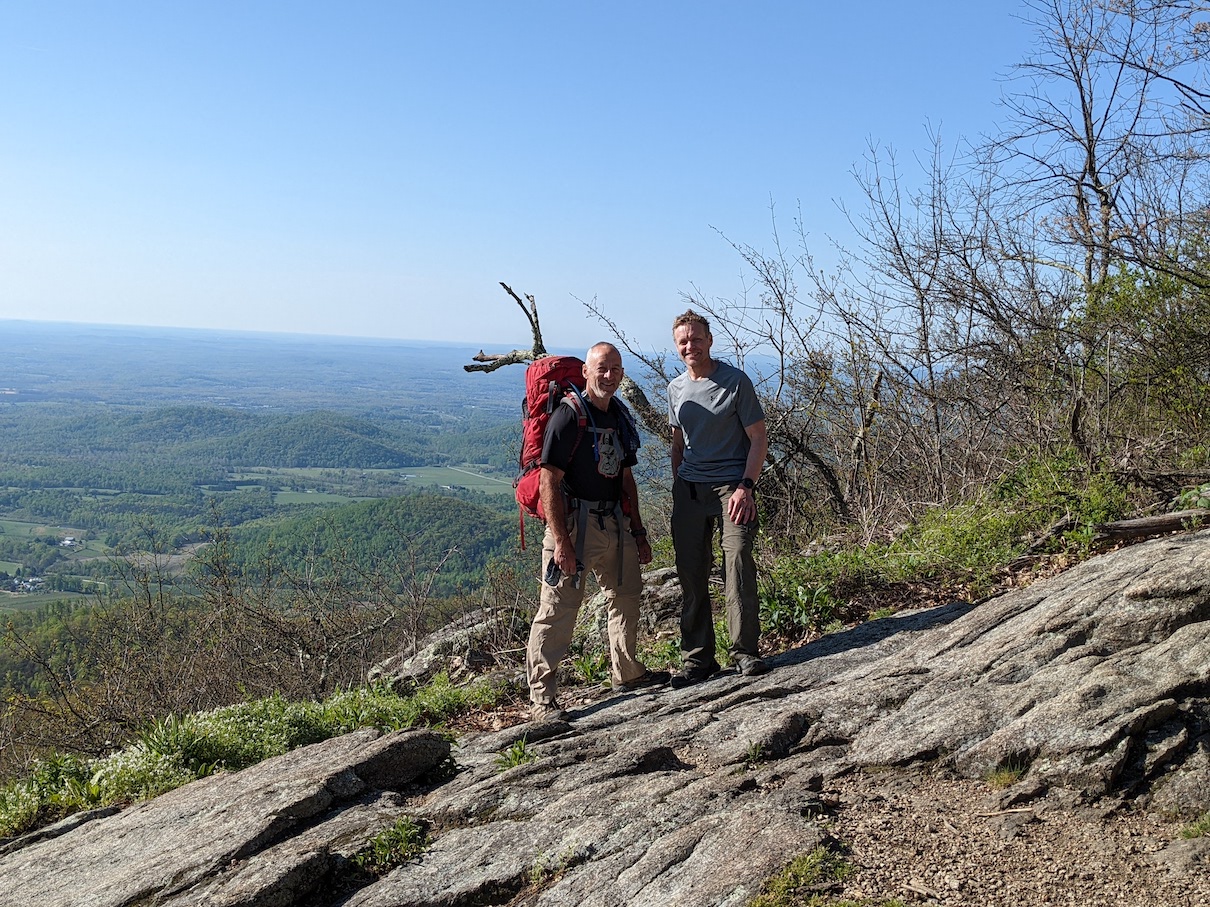
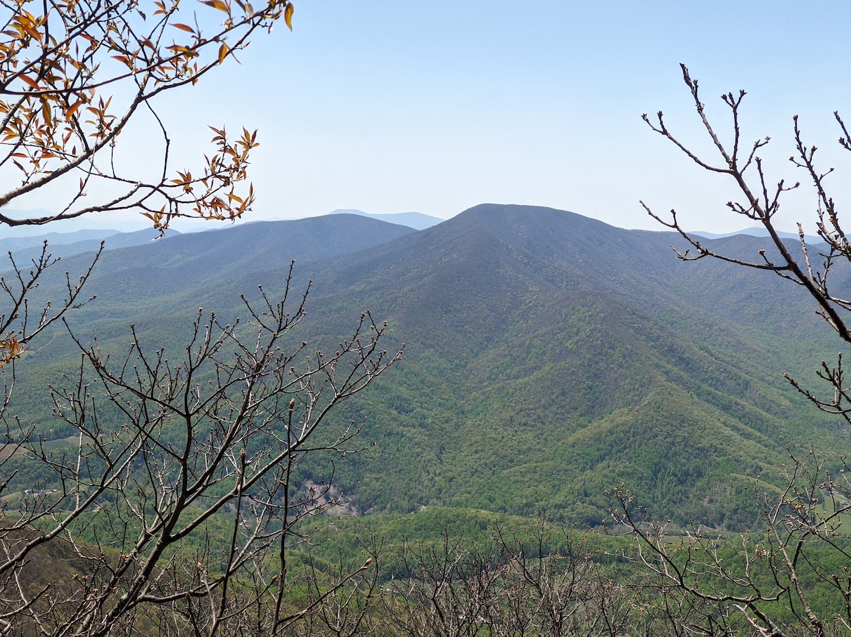
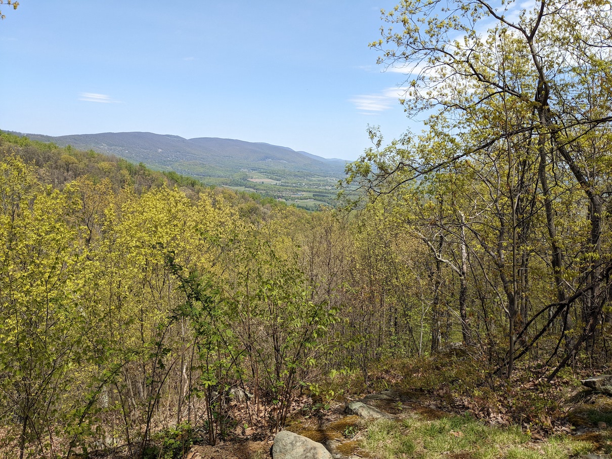
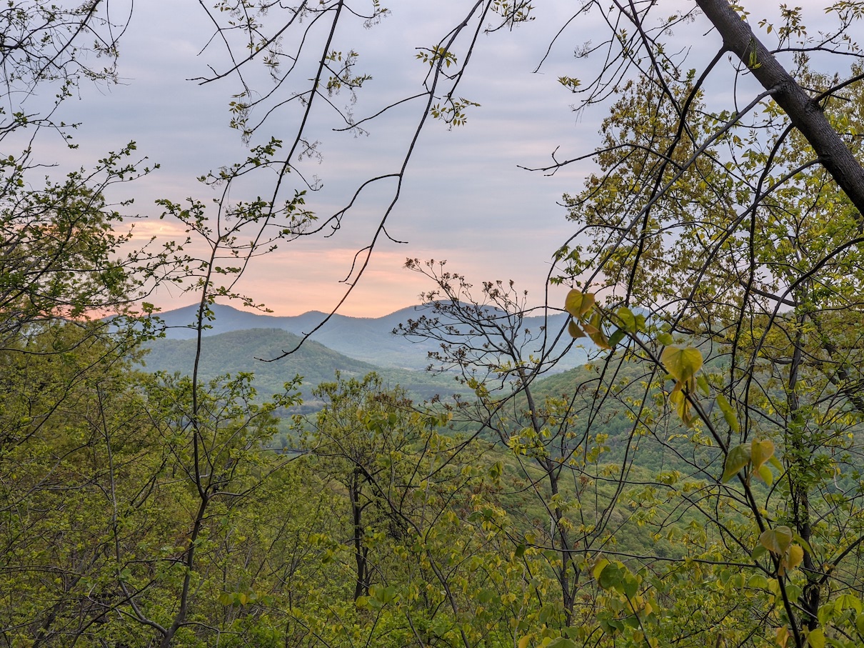
We started the next day with an ounce of optimism because we were only planning to cover about 13 miles to our next shelter and we already had 41 miles under our belt. Once again, we failed to pay attention to the terrain, and shortly after crossing the James River, we were greeted with about 3500’ of climbing before we’d make our descent to the Punchbowl shelter. It was high 80’s that day, but we were treated to several great views along the way and we arrived at camp with plenty of time to relax a bit. The water source was great, so we took advantage of that to do some laundry at the campsite. An Air Force retiree set up camp there for the night as well. We chatted with him a bit about the next day’s wet weather forecast, where he assured us the storm would be brief, if it even hit us at all.
The odds of a trail tragedy…
The first few shelters we stayed at did not have bear poles or bear boxes for our food bags. The night before, the other hikers hung their bags on the assortment of hooks and cords already in the shelter. I admittedly was not completely sure of this technique and the next night Jim and I debated our options…well, I debated them, where Jim was convinced that hanging the food bags on the shelter hooks was more than safe and a visit from a curious black bear was very unlikely. Jim seemed more concerned with hiking through a lightning storm the next day on trail. Given the complete lack of suitable trees to hang a bear line on, I gave in to Jim’s way of thinking, though I wasn’t nearly as worried about hiking through a little lightning.
Jim was right…
Day four was going to be a 15.5 mile day. We would start with some rolling climbs, followed by a 1500’ drop into a valley, and then we’d have a 3000’ climb before we’d reach our destination. The day started out quite warm and sunny. We stopped at about mile 9 at the Brown Mountain Creek Shelter for lunch. This was the last stop before our big climb. While we were eating a hiker came through, we exchanged a hello, but we didn’t really engage in much conversation. He continued on his way as we finished up lunch.
With full bellies, full water bottles, and a little over 6 miles to go til camp, we started making the steep climb up Bald Knob mountain. 2 miles into our climb, the skies started to get dark and the winds started to pick up. We stopped quickly to throw our pack covers on in case it rained, but did not throw rain gear on, cuz it usually just makes us overheat. It started to sprinkle a bit, then rain a bit… As we gained elevation, the winds got stronger, the rain picked up, lightning strikes got closer, and it started to hail. I chuckled to myself as I remembered Jim’s concern with carrying metal trekking poles through a lightning storm. The 80 degree temps we had experienced earlier in the day had been replaced by temps in the low 30’s at best. At this point we were completely soaked, and it was getting tough to stay warm. There was very little shelter on the mountain, but we finally found a large rock we could hide behind long enough to get our rain jackets on. We were both starting to get very cold and with a mile and a half to go wondered if we should set up a shelter or push on. We decided to keep going. Even with my rain jacket on, I could not get warm. My teeth were chattering and it was the first time in all my years hiking that I actually realized just how quickly conditions can go from good to bad. Jim knew we had to warm up, so once we crossed the peak, he started to run. We are both trail runners, though not typically with a 30lb pack strapped to our backs. Jim asked if I was OK running, and I was quick to say yes. The faster pace was helping to warm things up. We probably got down off that mountain in less than 15 minutes and soon found ourselves at the Cow Camp Gap shelter.
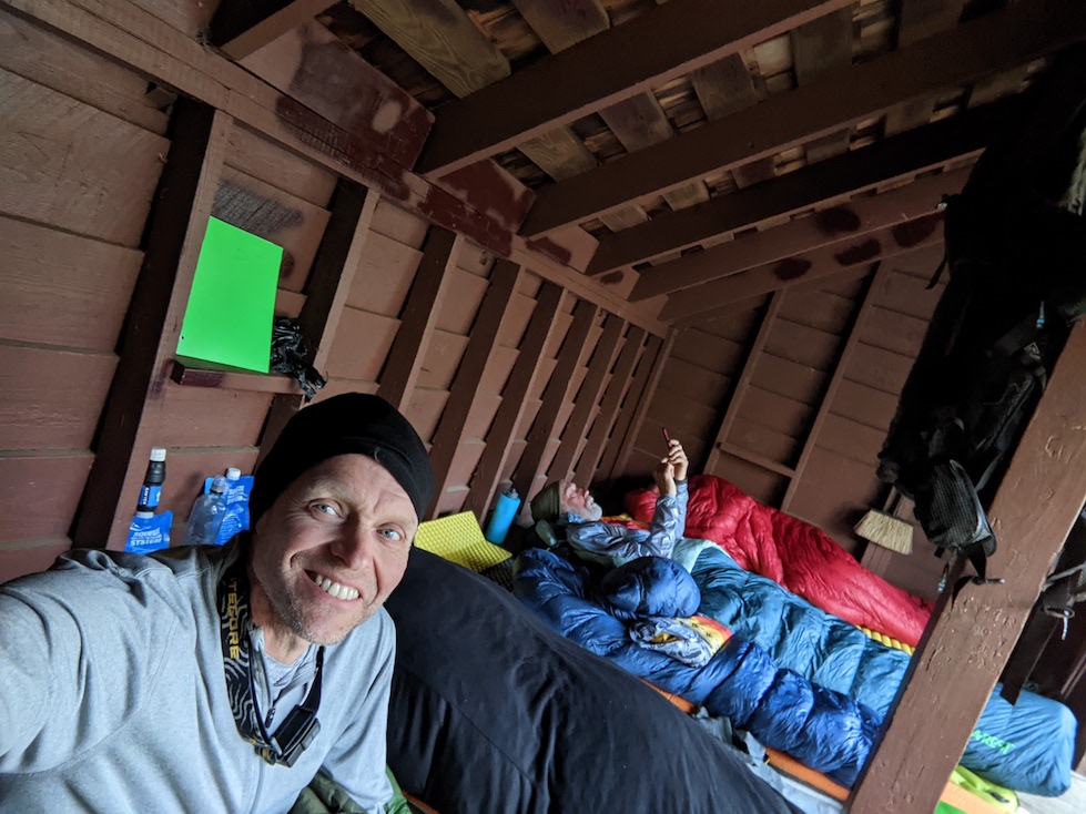
Austin, the hiker we had seen at lunch, was already there and hunkered down under his quilt in an attempt to warm up. The rain had brought with it a cold front, and we would not see temps get out of the 60’s for the rest of the week. A girl, an accountant from northern VA who went by the trail name Star Gazer, was also section hiking and would show up shortly after us…equally soaked from the storm. The harrowing experience bonded us quickly and we knew that the climb and weather change was somewhat of a shared victory. On a nice sunny day I’m not sure any of us would be too chatty, but that gave us some laughs. The four of us did our best to get dried out and warmed up as the already dark skies slowly faded to black for the night.
Hiking with Austin…
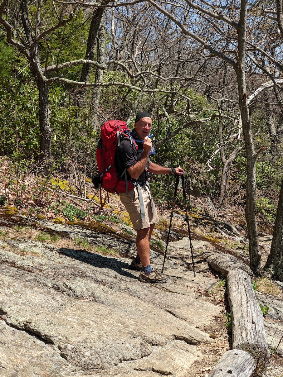
When you awaken to the sight of your breath rising in the morning air in front of you, it does not motivate one to crawl out from under a cozy quilt and hit the trail. However, after a serious dose of procrastination, it was finally time to gather up my soggy clothes from the day before and start to tackle the 17 miles that were between us and our next night’s destination. Though the clouds had receded, and the sun was shining bright, it was still pretty cold and very windy as we started our hike. The day’s hike was going to take us up and over a half dozen 500’ climbs, but far easier than the last few days. Despite the cooler temps, our pace warmed us up pretty quickly, and we took a quick break to drop some layers of clothes.
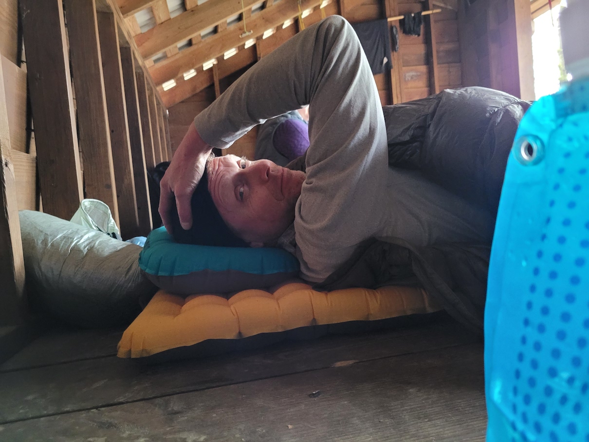
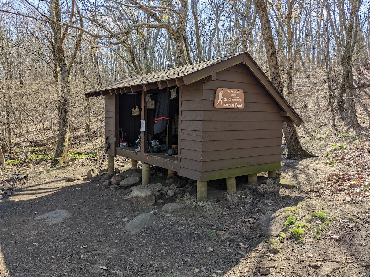
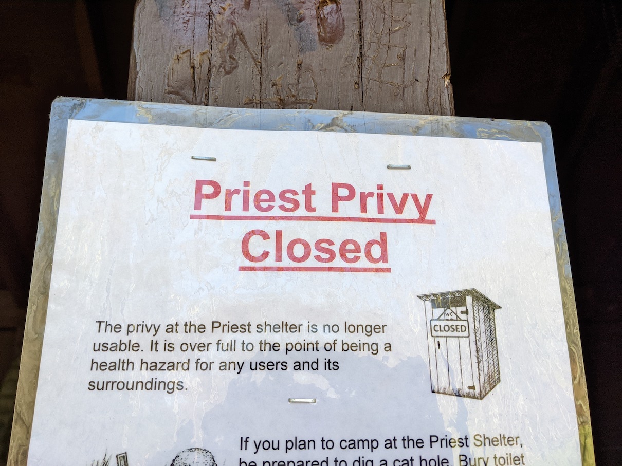
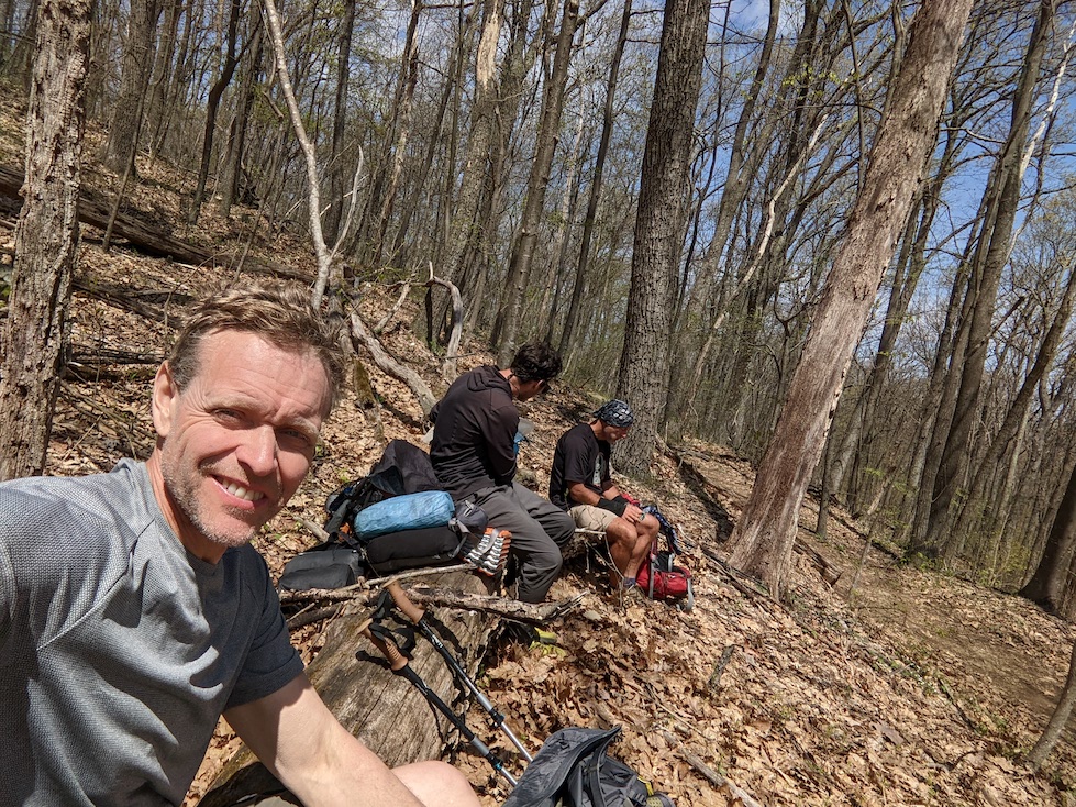
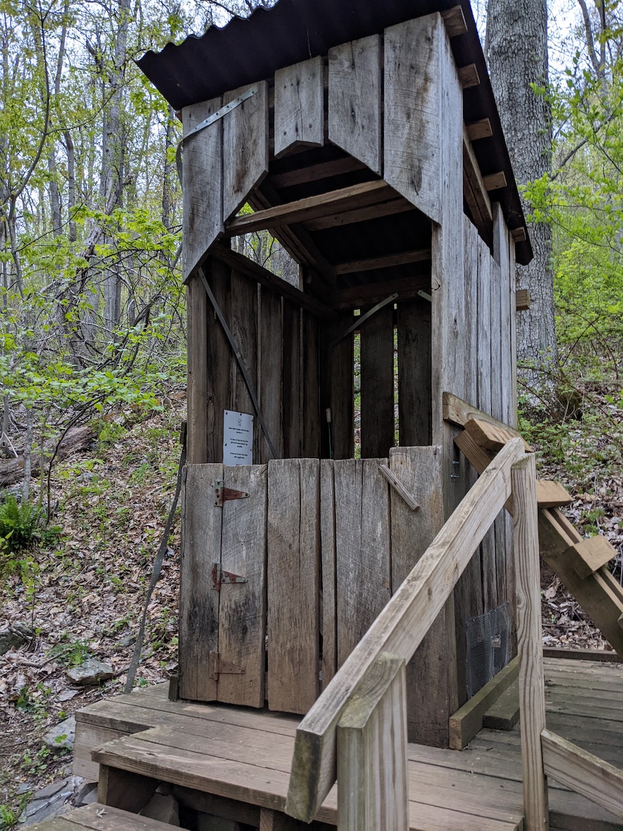
At about that time, Austin caught up with us. He was a thru hiker from PA and had been on the trail since early March. We thought he’d hike right past us, but he decided to hike with us for the day. As we chatted with our new hiking buddy, the day and the miles went by very quickly and we reached The Priest Shelter by mid afternoon. It was a fun day on the trail, with temps never really getting much out of the 50’s. The only downer to the day was seeing a big sign at our shelter declaring that the privy was CLOSED because it was…um…full! I’m not saying that I’m ever really excited to have to visit the privy while on trail, but it sure beats the other options available. A couple hikers showed up after us and took tent spots, and a hiker from the UK also joined us in the shelter for the night. At an elevation of 3900’, it was probably the coldest night we had on trail.
Three Ridges…
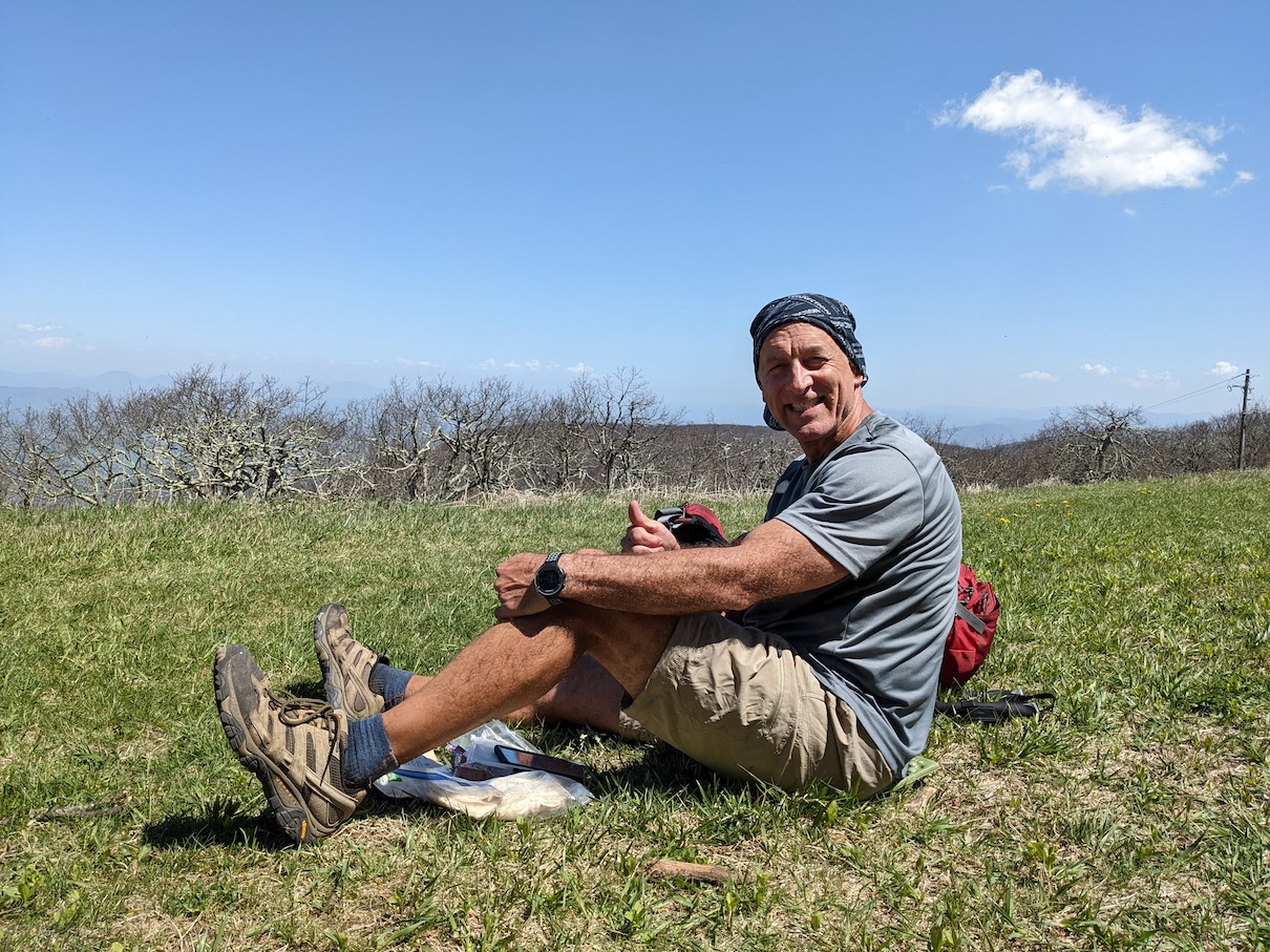
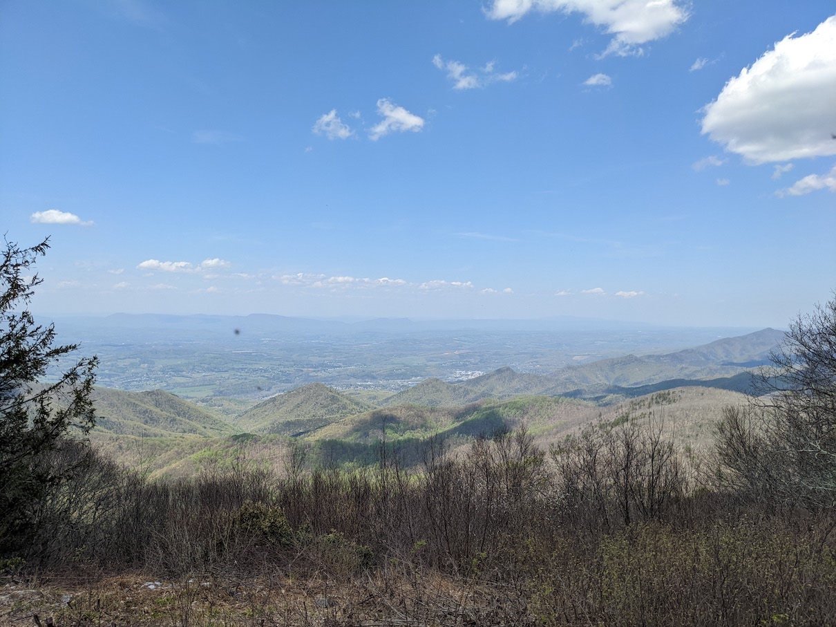
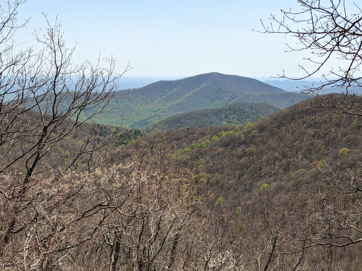
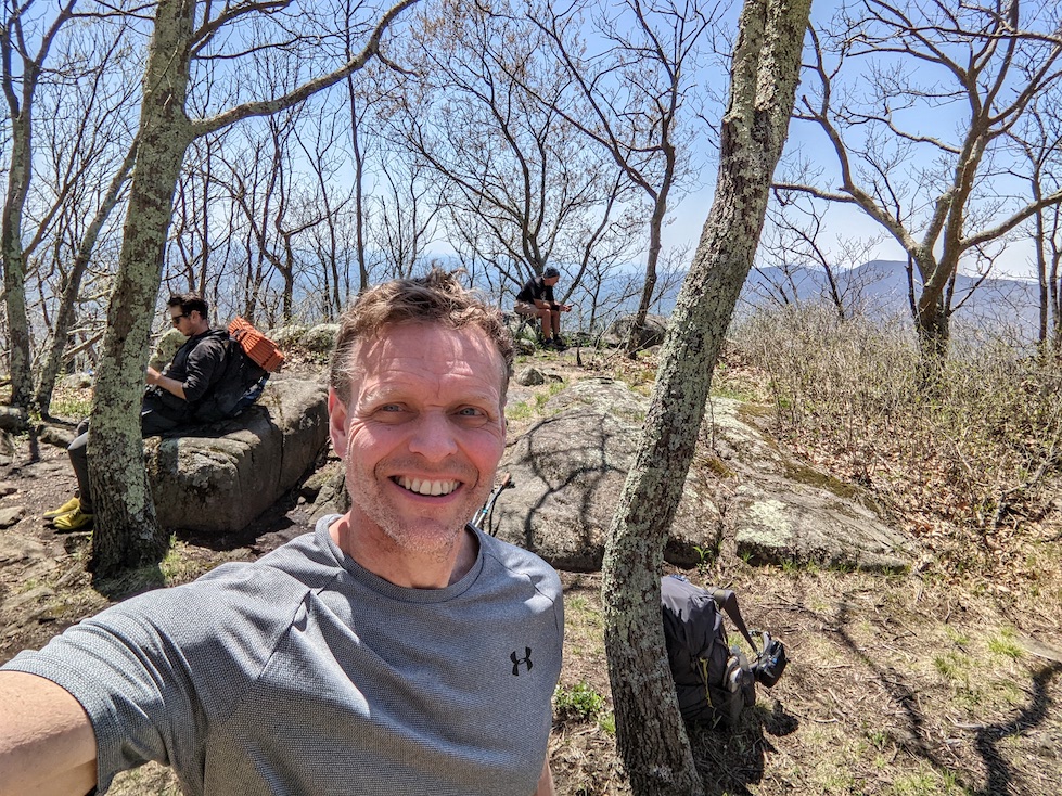
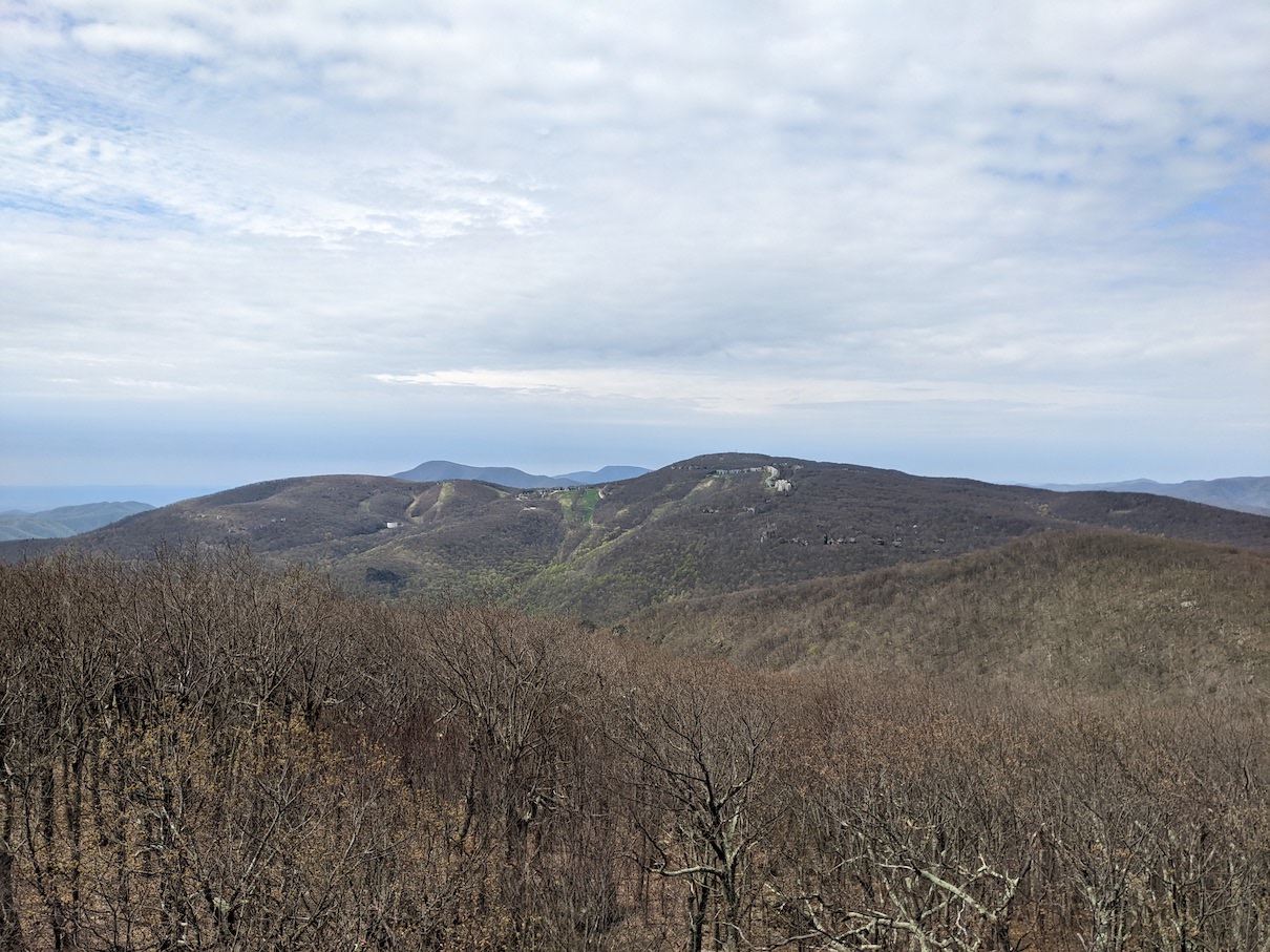
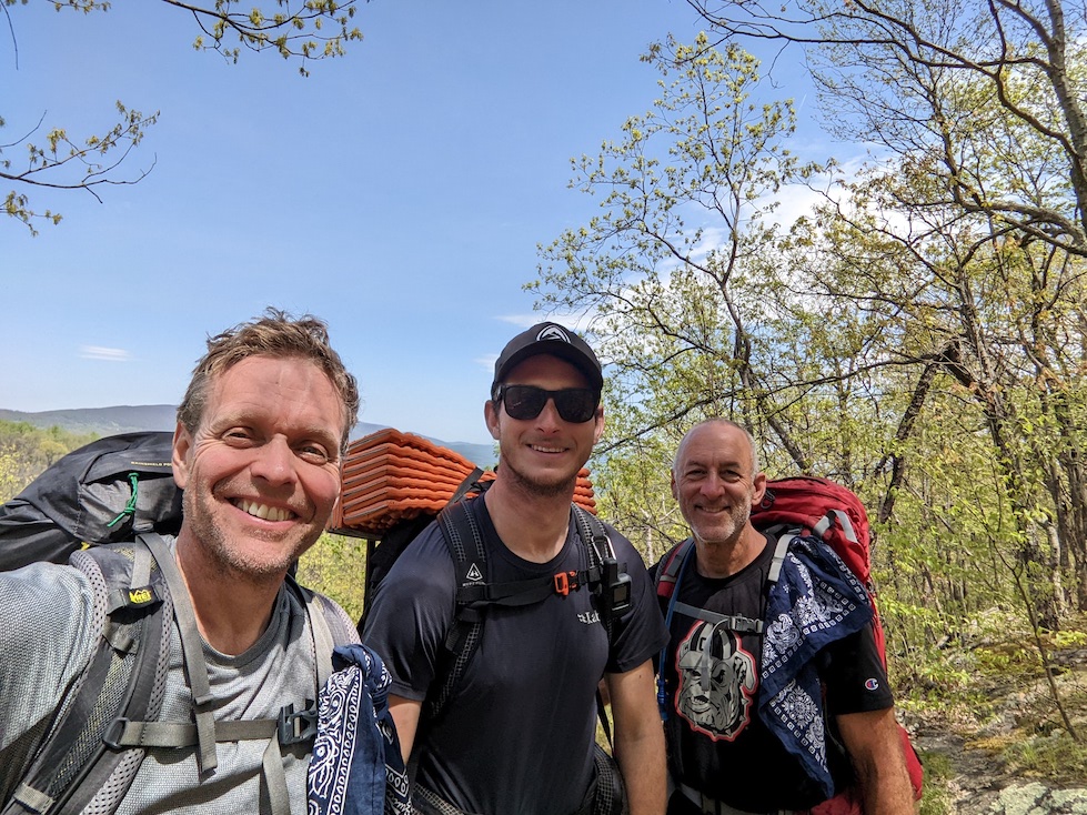
Day six was going to be another short one, with only 14 miles planned, but they were not easy miles. Austin was going to hike with us again, but was going to continue on beyond our planned stopping point. The day started out with a couple hundred foot climb, followed by a steep 3000’ descent. As soon as we reached the ‘bottom’, we immediately started to climb back up another 3000’ over a mountain called Three Ridges. This was a tough and rocky climb with several ‘false peaks’ on the way to the summit. We were rewarded by great views, and temperatures in the 60’s made it a pretty nice day.
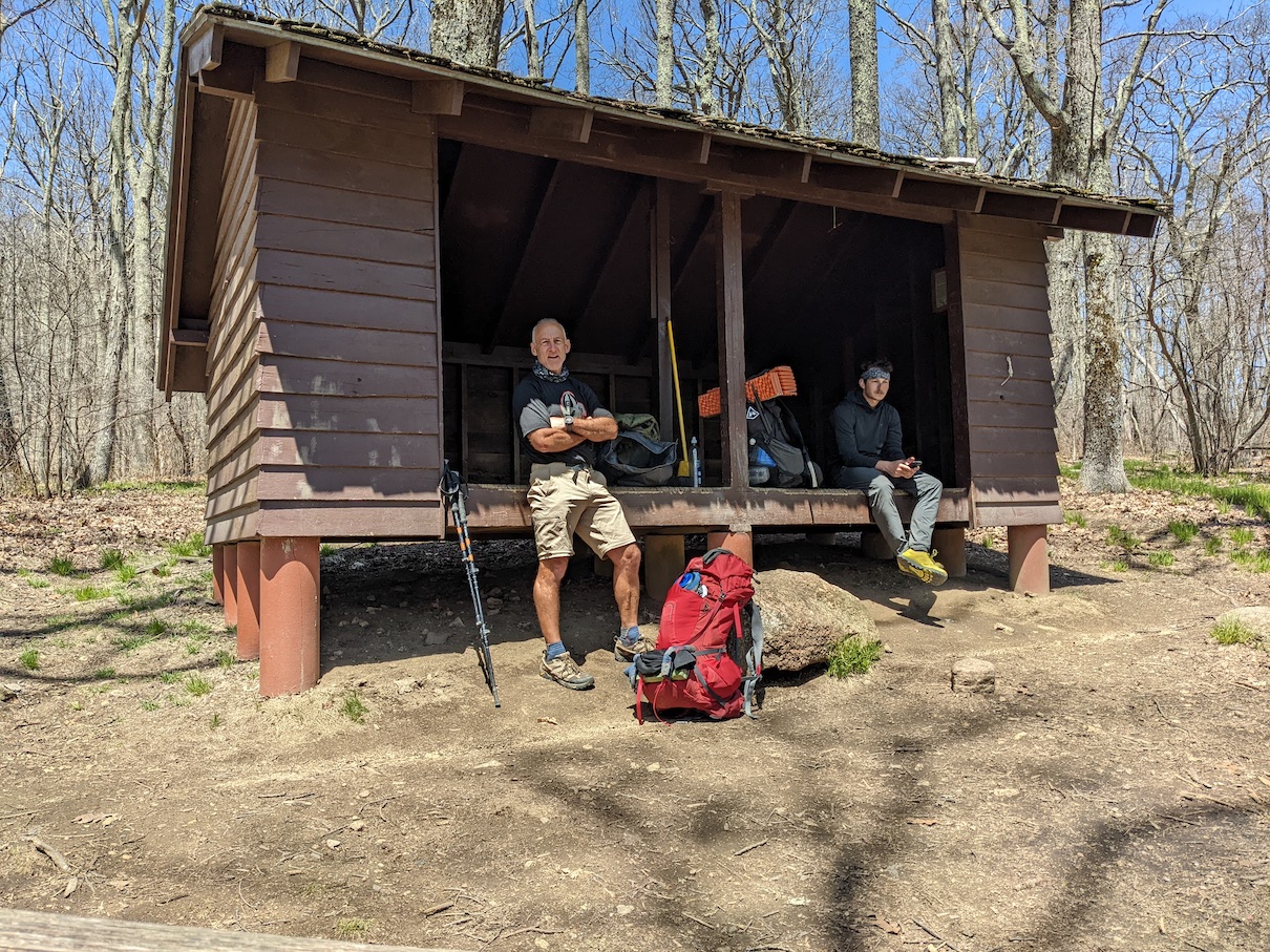
We arrived at the Maupin Field Shelter mid afternoon, and Austin decided to also call it a day. This was a neat camping spot with several tent sites, a nice 6 person shelter, and a fully functioning privy. A section hiker who went by the trail name of Nog already had a shelter spot claimed and a couple thru hikers, K Greenie and Lightning showed up a little later and took the last 2 spots. Jim and I were sharing with them that we were classmates from a small town in the Catskills, and we were surprised to learn that both Nog and Lightning had lived not too far from there at points in their lives and were very familiar with our hometown and even hiked some of our local peaks. It was a fun connection and reminder that in a big old world, we’re not as far apart from each other as we sometimes think we are. It was a warmer night and we really enjoyed getting acquainted with our fellow hikers.

Making Tracks…
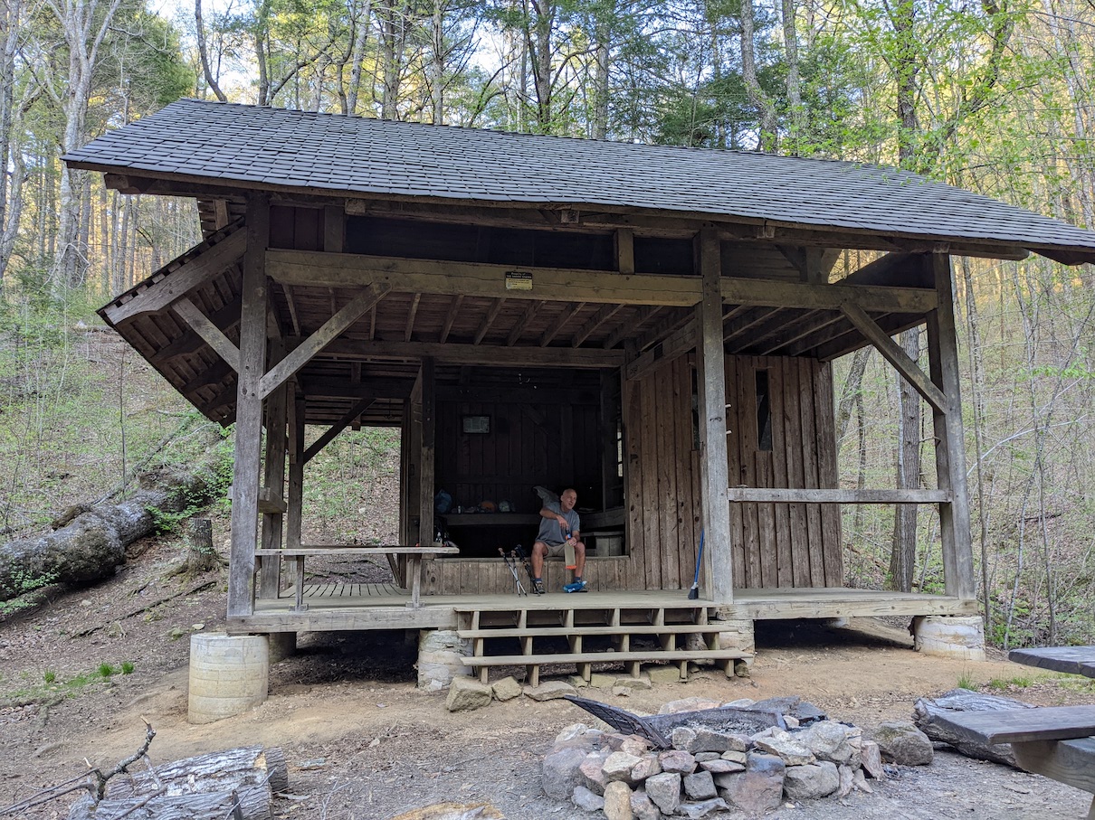
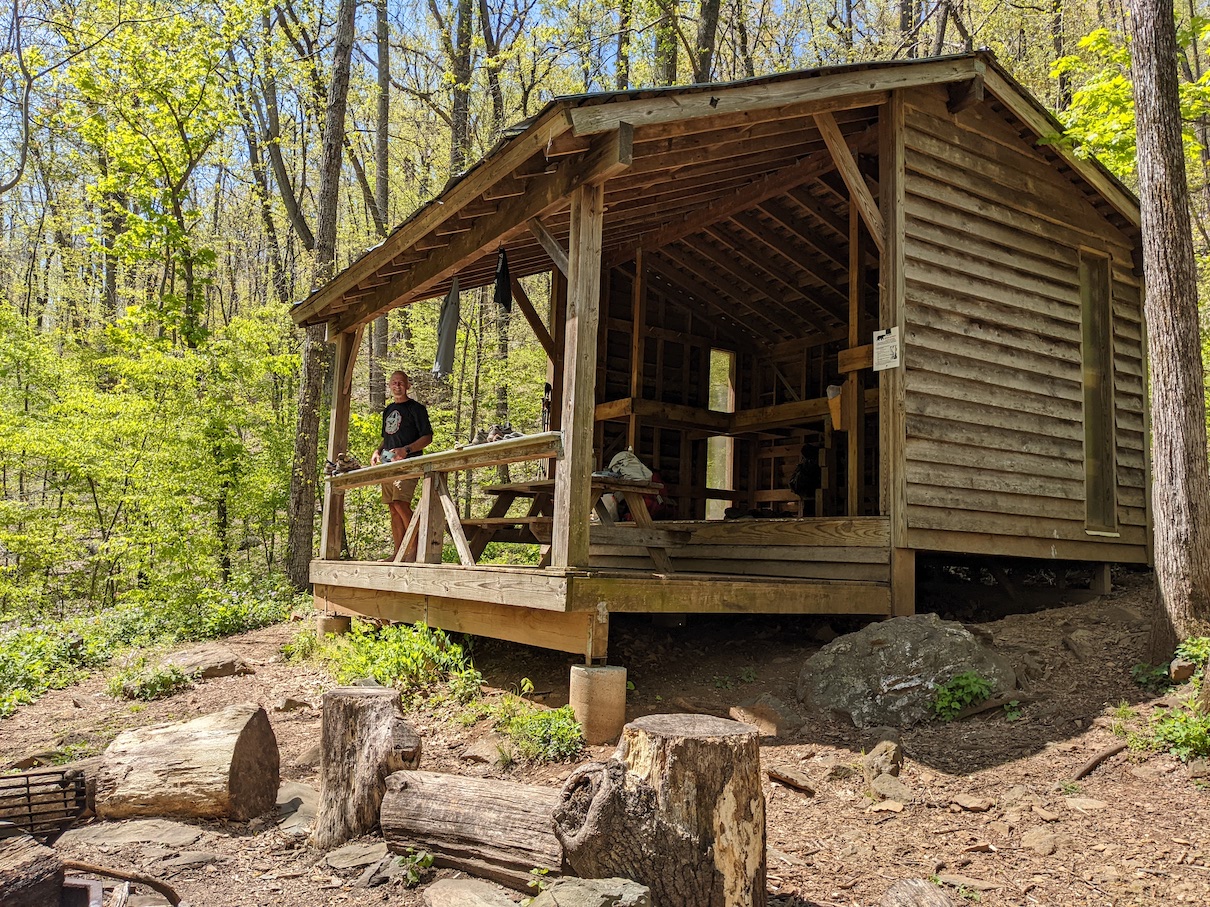
At this point we were only about 21 miles from the end of our hike, but we had planned to stop at mile 16 for the night and finish out with a short morning hike the next day. Austin once again decided to hike with us, but he was going to cover the whole 21 miles and get a shuttle into a hostel and a resupply. Jim always leads on trail and he must have been trying to get Austin to his destination quickly because we covered the 16 miles to the Paul C. Wolfe shelter in about 6 hours of moving time, arriving early in the afternoon. We said goodbye to Austin as he continued north and we made our way to what was probably the coolest shelter site we had seen all week…a multi level shelter with a covered porch, overlooking a nice stream. It was a great setting to just hang out after our last full day of hiking. We were later joined by three ladies that were section hikers from Cape Cod, and the loft was taken by a bunch of thru hikers that arrived after sundown.
Ninety minutes to pancakes…
We have learned that a short hike on the last day on trail leaves a lot of time to celebrate before we both head back to our homes. Our morning plan was to get on trail early and make quick work of the last 5 miles and find a place to get some pancakes and real brewed coffee. We knocked out that last 5 miles in about 90 minutes and by 9AM we were sitting in a Cracker Barrel eating blueberry pancakes with real maple syrup. With bellies full, we drove the hour and a half drive back to the trailhead where I had parked my truck and headed to our hotel for the final night. We rounded out the day with a delicious meal at the Wasena City Tap Room, a cool pub in downtown Roanoke, where we reflected on the highs and lows of our week on the trail. We had done it…one more section of the Appalachian Trail, 120 miles in one week, about 30,000 feet of elevation gain and loss, and nearly 20% of the AT now complete. There was a lot to celebrate!
How soon we forget…
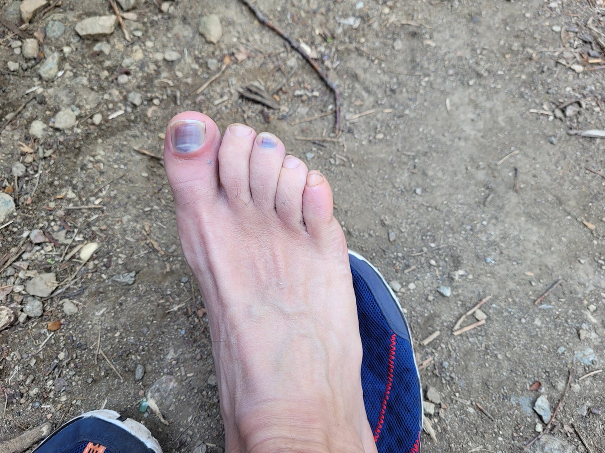
When it comes to section hiking and backpacking in general, forgetfulness may be a good thing. Trail struggles are real…aches, pains, blisters, fatigue, stinkiness, all of it…it’s real and it’s not easy. Every hike, there are moments where the idea of becoming a retired hiker crosses my mind…perhaps this year more frequently than other years. But, usually during my car ride home, it seems the only trail memories I have are the highlights, the great views, the good laughs, the fun conversations, the people we’ve met…and I’m soon ready to sign up for the next one. With only 420 out of the total 2,193 miles of the AT completed, there will have to be a lot more next ones. As Charles Dickens wrote, “It was the best of times, it was the worst of times…” So far, the bests far outweigh the worsts and I’m just excited to get to the next of times.
Shifting gears…
This is the part of the article where those interested in the story but not the hiking hobby will probably want to tune out. Every step of every backpacking trip, we are keenly aware of the weight on our backs, and the gear we’re wearing. In fact, talking gear consumes quite a bit of trail time and a lot of the time between trail times. It’s the never ending process of looking for that next lighter, better, more comfortable gear item. This year was no different and I started the trail with a couple new pieces of gear.
Backpacks: The last two years I have hiked with the Osprey Atmos AG 50L pack. I’m a big fan of the Osprey packs and their anti gravity design features and the Atmos has been a solid and very comfortable pack. But, the Atmos is no ultralight pack and I had been looking to shave a little weight. After trying the Osprey Exos 58, the Gregory Focal 58, and the Sierra Designs Flex Capacitor, I finally landed on the REI Flash 55 and it was a phenomenal choice. It comes in about 1.7 lbs lighter than my Osprey, has more accessible water bottle pockets, a very convenient roll top design, and a pretty lightweight brain for additional organization. I added some shock cord to the front panel for carrying wet gear and I was very happy with this pack. I was a little worried because some reviews talked about the hip belt either being too big or coming loose, but neither of those problems became a reality for me. For a pack that you can often pick up for under $160 during the REI sales, it’s a pretty tough pack to beat.
Tents: This year I left my Big Agnes Copper Spur UL1 at home and carried my new Durston X-Mid 1P tent. The X-Mid 1P is a trekking pole tent that dropped my tent weight ½ lb and added a ton of vestibule room for my gear. All that said, I did not use my tent once on this section hike, and I was pretty happy about that. I’ll always carry a tent, because you can’t rely on finding a spot in a shelter, but if I never once have to set up a tent on trail again, I’m completely good with that.
For the next section hike, aside from buying a new Sawyer Squeeze filter, I don’t anticipate making many gear changes. I might fine tune my clothing options, but that will vary each year depending on the weather we anticipate. I do plan to change up my food options. Fewer Clif Bars and more salty snacks will be on next year’s hiking menu.